Šumarak
For the monastery, see Bavanište monastery.
| Šumarak Шумарак | |
|---|---|
| Village | |
|
Street detail | |
 Šumarak Location of Šumarak within Serbia | |
| Coordinates: 44°49′10″N 21°08′14″E / 44.81944°N 21.13722°ECoordinates: 44°49′10″N 21°08′14″E / 44.81944°N 21.13722°E | |
| Country | Serbia |
| Province | Vojvodina |
| District | South Banat |
| Elevation | 100 m (300 ft) |
| Population (2002) | |
| • Šumarak | 180 |
| Time zone | CET (UTC+1) |
| • Summer (DST) | CEST (UTC+2) |
| Area code(s) | +381(0)13 |
| Car plates | KO |

Šumarak is a village in Serbia. It is situated in the Kovin municipality, in the South Banat District, Vojvodina province.
Name
Other names of the village: Serbian Cyrillic: Шумарак, Hungarian: Emánueltelep.
Historical population
- 1948: 233
- 1953: 231
- 1961: 192
- 1971: 241
- 1981: 168
- 1991: 109
Ethnic groups
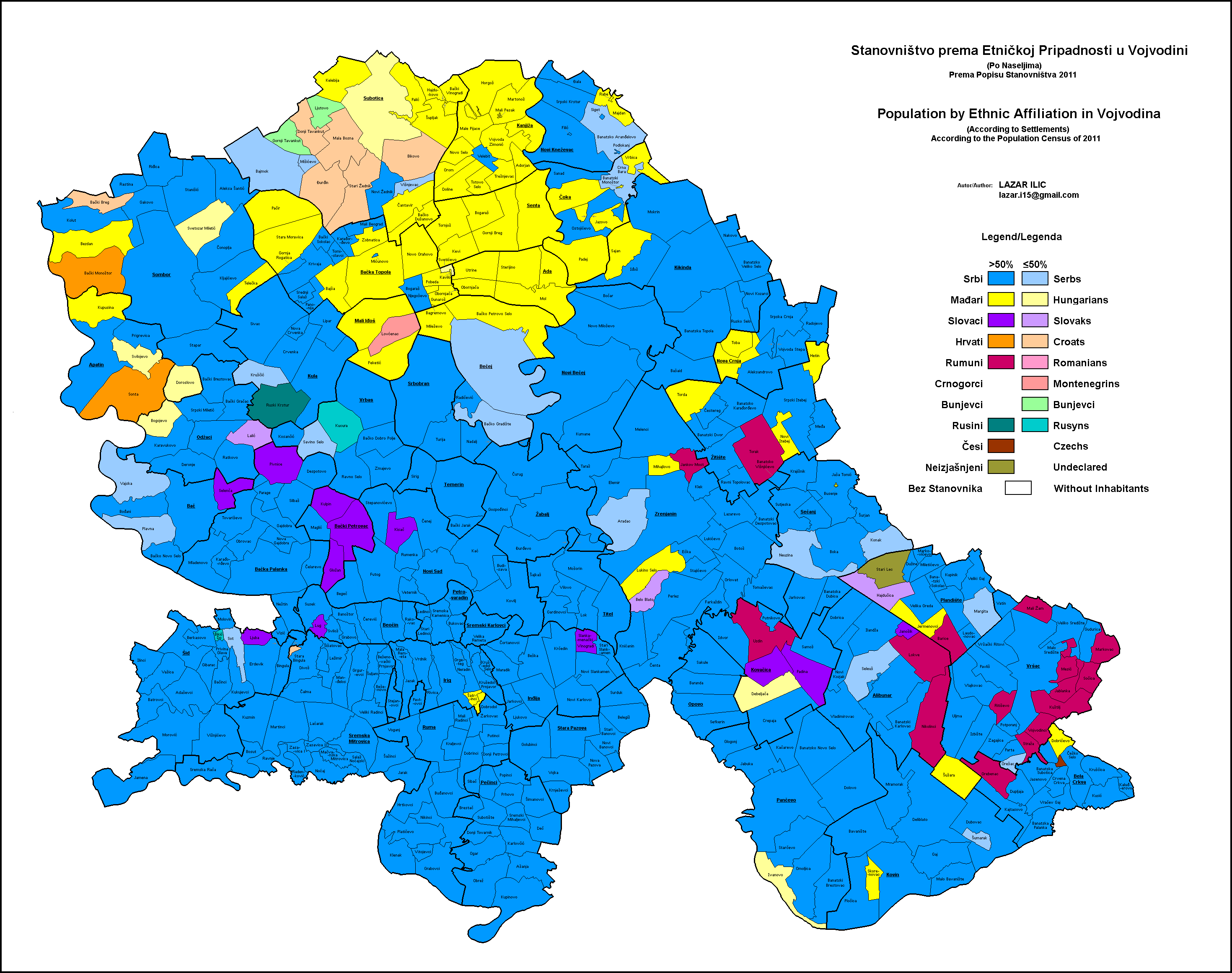
According to the last census from 2011, the village was ethnically mixed and largest ethnic group in the village were Serbs.[1]
According to the older census from 2002, the population of the village numbered 180 people, including 62 Hungarians (34.44%), 54 Serbs (30%), and others. In 2006, the population numbered 177 people.[2]
| Year | Total | Hungarians | Serbs | Yugoslavs | Romanians | Romani | Croats | Montenegrins | Rest |
| 1991 | 109 | 55.04% | 15.59% | 26.6% | 0.00% | 0.00% | 0.91% | 0.00% | 2.04% |
| 2002 | 180 | 34.44% | 30.0% | 3.33% | 5.00% | 1.66% | 0.55% | 0.55% | 24.47% |
References
- Slobodan Ćurčić, Broj stanovnika Vojvodine, Novi Sad, 1996.
- ↑ http://upload.wikimedia.org/wikipedia/commons/2/20/Vojvodina-Ethnic-2011.GIF
- ↑ Knjiga 1, Stanovništvo, nacionalna ili etnička pripadnost, podaci po naseljima, Republički zavod za statistiku, Beograd, februar 2003, ISBN 86-84433-00-9
See also
| Wikimedia Commons has media related to Šumarak. |
This article is issued from Wikipedia - version of the 6/10/2016. The text is available under the Creative Commons Attribution/Share Alike but additional terms may apply for the media files.