Çocuq Mərcanlı
Coordinates: 39°23′28″N 47°17′53″E / 39.39111°N 47.29806°E
| Çocuq Mərcanlı | |
|---|---|
 Çocuq Mərcanlı | |
| Coordinates: 39°23′28″N 47°17′53″E / 39.39111°N 47.29806°E | |
| Country |
|
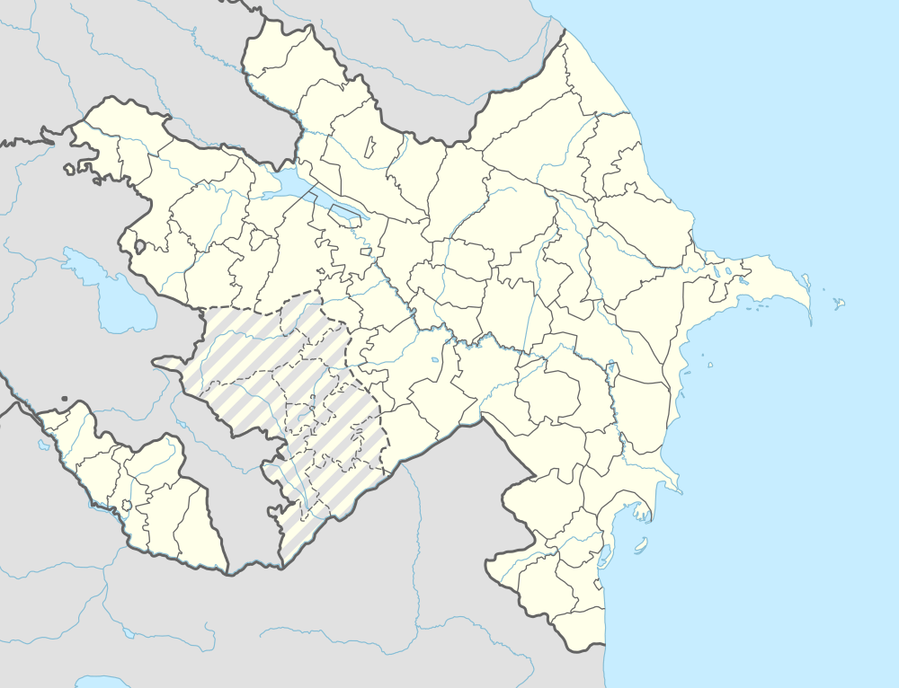
| Rayon | Jabrayil |
| Time zone | AZT (UTC+4) |
| • Summer (DST) | AZT (UTC+5) |
Çocuq Mərcanlı (also, Chojuk-Marjanly) is a village in the Jabrayil District of Azerbaijan.
In 1993, in the course of the Nagorno-Karabakh War, Armenians managed to push Azerbaijani forces out of the village after gaining control of the nearby hills. Çocuq Mərcanlı turned into a no man's land and its population fled with the exception of one family which continued to live there.[1] During the 2016 Armenian–Azerbaijani clashes, Azerbaijani troops regained control over the strategic Lalatapa hill located 2.9 kilometres (1.8 mi) north-west of the village,[2] which shifted Çocuq Mərcanlı away from the immediate front line and allowed safe access to the village. On 7 April 2016, internally displaced persons from Çocuq Mərcanlı visited their home village for the first time in 23 years.[3]
Çocuq Mərcanlı is currently the only village of the Jabrayil District effectively controlled by the Azerbaijani army.
References
- ↑ "Азербайджанцы возвращаются в освобожденное село". Haqqin.az. 8 April 2016.
- ↑ "Nagorny-Karabakh: le cessez-le-feu globalement respecté entre l'Azerbaïdjan et les séparatistes". L'Express. 6 April 2016.
- ↑ "Беженцы возвращаются в село Чоджуг Марджанлы". Haqqin.az. 7 April 2016.
.svg.png)