Pozzilli
| Pozzilli | |
|---|---|
| Comune | |
| Comune di Pozzilli | |
.svg.png) Pozzilli within the Province of Isernia | |
 Pozzilli Location of Pozzilli in Italy | |
| Coordinates: 41°30′44.89″N 14°3′34.78″E / 41.5124694°N 14.0596611°ECoordinates: 41°30′44.89″N 14°3′34.78″E / 41.5124694°N 14.0596611°E | |
| Country | Italy |
| Region | Molise |
| Province / Metropolitan city | Isernia (IS) |
| Frazioni | Camerelle, Collegrotte, Leone, Santa Maria Oliveto, Triverno |
| Area | |
| • Total | 34.66 km2 (13.38 sq mi) |
| Population (2013)[1] | |
| • Total | 2,402 |
| • Density | 69/km2 (180/sq mi) |
| Time zone | CET (UTC+1) |
| • Summer (DST) | CEST (UTC+2) |
| Postal code | 86077 |
| Dialing code | 0865 |
| Website | Official website |
Pozzilli is an Italian comune (municipality) of the Province of Isernia, in the region Molise, located about 50 kilometres (31 mi) west of Campobasso and about 15 kilometres (9 mi) southwest of Isernia. As of 2013, it had a population of 2,402 and an area of 34.66 square kilometres (13.38 sq mi).[1]
Geography
Pozzilli is located on a valley below the Mainarde mountain range, next to the Abruzzo, Lazio and Molise National Park. It is crossed by the river Rava and is few km far from the town of Venafro. The industrial area extends into eastern plain and is part of the "Isernia-Venafro Industrial Consortium".[2]
The municipal territory, bordering with the regions of Lazio and Campania, borders with the municipalities of Acquafondata (FR), Capriati a Volturno (CE), Conca Casale, Filignano, Montaquila, Monteroduni, Venafro, and Viticuso (FR).[3] It counts the hamlets (frazioni) of Camerelle, Collegrotte, Leone, Santa Maria Oliveto, and Triverno.
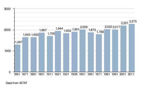
Demographics
References
- 1 2 (Italian) Source: Istat 2013
- ↑ (Italian) Isernia-Venafro Industrial Consortium
- ↑ 41338 Pozzilli on OpenStreetMap
External links
![]() Media related to Pozzilli at Wikimedia Commons
Media related to Pozzilli at Wikimedia Commons
- (Italian) Pozzilli official website