Şada
| Şada | |
|---|---|
| Municipality | |
 Şada | |
| Coordinates: 39°29′10″N 45°29′40″E / 39.48611°N 45.49444°ECoordinates: 39°29′10″N 45°29′40″E / 39.48611°N 45.49444°E | |
| Country |
|
| Autonomous republic | Rayon |
| Population (2005) | |
| • Total | 164 |
| Time zone | AZT (UTC+4) |
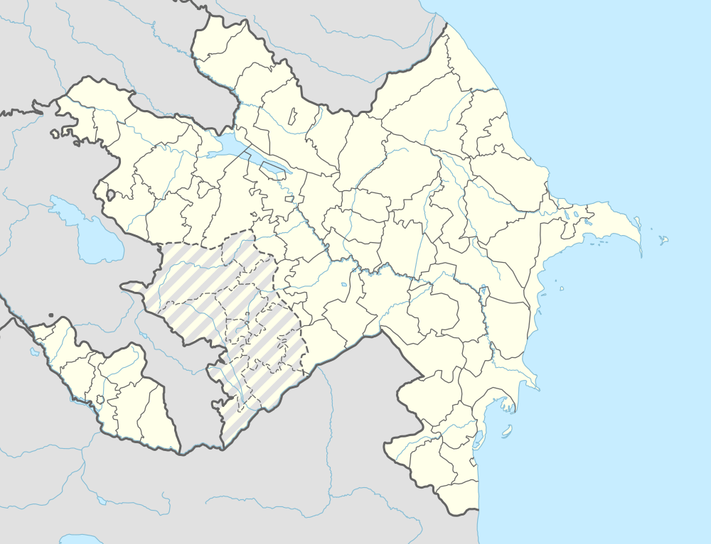
Şada (also, Sada, Shada, Shadakend, and Shady) is a village and the least populous municipality in the Shahbuz District of Nakhchivan, Azerbaijan. It is located 18 km in the north-west from the district center, on the slope of the Daralayaz ridge. Its population is busy with mainly animal husbandry. There are secondary school, library and a medical center in the village. It has a population of 164.[1]
Etymology
Şada (Shada) is located on slope of the Daralayaz ridge. Likely it has connected with suffered version of the phonetic change of the Turkic shoto ethnonym. According to sources, the tribe took its name from the same named desert. The Shatos which established their own state in the Chu valley of East Turkestan in the VII century, settled in the territory of Azerbaijan during the Oghuz, Khazars and Mongols campaign. In the XIX century, the tribal was registered under the name of Shada within Kyrgyzs.[2]
Qaraboya
Qaraboya (also, Garaboya and Karaboya) - the existed village on the slope of the Ov Mountain in the Shahbuz district. Its population have been resettled in the Shada and Badamlı villages in 1960.[1]
References
Capital: Şahbuz | ||
.svg.png) | ||