Xok
This article is about the village in Azerbaijan. For the album by NQ Arbuckle, see XOK.
| Xok | |
|---|---|
| Municipality | |
 Xok | |
| Coordinates: 39°22′25″N 45°10′18″E / 39.37361°N 45.17167°ECoordinates: 39°22′25″N 45°10′18″E / 39.37361°N 45.17167°E | |
| Country |
|
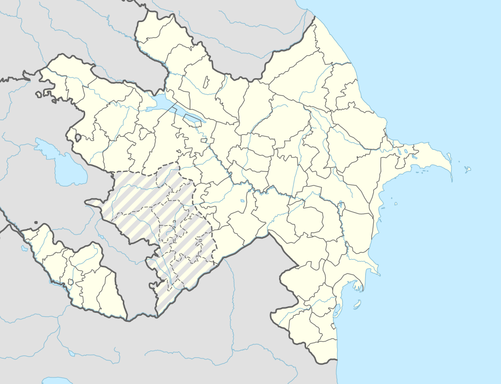
| Autonomous republic | Nakhchivan |
| Rayon | Kangarli |
| Population (2005) | |
| • Total | 4,904 |
| Time zone | AZT (UTC+4) |
Xok (also, Khok) is a village and municipality in the Kangarli Rayon of Nakhchivan, Azerbaijan. It is located in the near of the Nakhchivan-Sharur highway, 6 km in the north-east from the district center, on the Sharur plain. Its population is busy with grain-growing, fodder and animal husbandry. There are secondary school, club, library and a medical center in the village. It has a population of 4,904.[1]
Etymology
It is one of the ancient settlements of the Azerbaijan. According to some researchers, the oykonim is related with the Turkic word of xok (khok) // xak (khak) which is used in meaning of the "meadow, pasture". Also could be assumed that the name originated from the Iranian Iranian word of the xak (land).[2]
References
Capital: Qıvraq | ||
.svg.png) | ||
This article is issued from Wikipedia - version of the 7/14/2016. The text is available under the Creative Commons Attribution/Share Alike but additional terms may apply for the media files.