Xingyi, Guizhou
| Xingyi 兴义市 | |
|---|---|
| County level city | |
|
Countryside near Xingyi | |
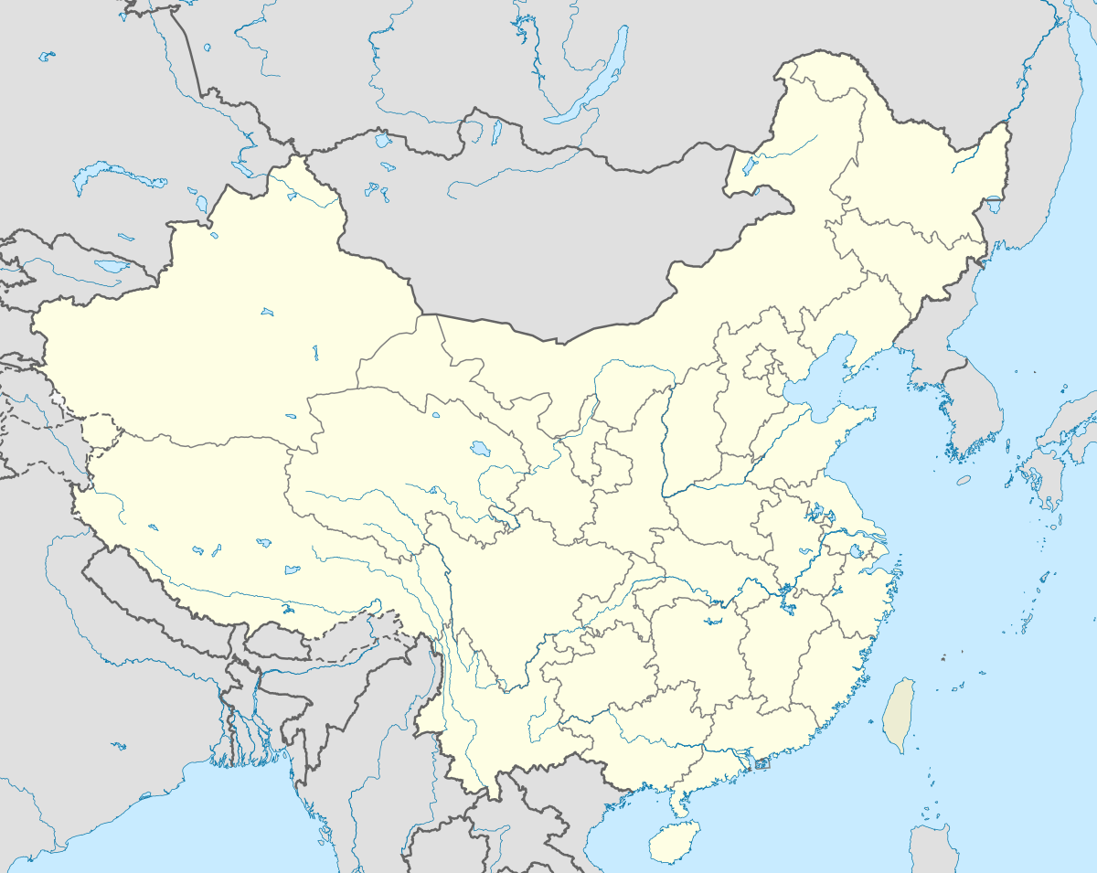 Xingyi Location within China | |
| Coordinates: 24°32′N 104°19′E / 24.533°N 104.317°ECoordinates: 24°32′N 104°19′E / 24.533°N 104.317°E | |
| Country | China |
| Province | Guizhou |
| Prefecture | Qianxi'nan Buyei and Miao Autonomous Prefecture |
| Area | |
| • Total | 2,911 km2 (1,124 sq mi) |
| Population (2003) | |
| • Total | 740,700 |
| • Density | 250/km2 (660/sq mi) |
| Time zone | China Standard Time (UTC+8) |
| Postal code | 562400 |
| Area code(s) | 859 |
| License plate prefixes | 贵E |
| Website | www.gzxy.gov.cn (Chinese) |

Xingyi (simplified Chinese: 兴义; traditional Chinese: 興義; pinyin: Xīngyì) is a county-level city in Guizhou in southern China. It has an area of 2911 square kilometers and a population of 740,700 as the end of 2003.[1] It is under the administration of the Qianxinan Buyei and Miao Autonomous Prefecture.
Based on endangered fishes, amphibians, reptiles and mammals, Xingyi is one of nine vertebrate biodiversity hotspots of China.[2]
History

Capture of Xingyi by the Qing Dynasty during the Panthay Rebellion.
Transportation
Xingyi is served by the Nanning–Kunming Railway and by the Xingyi Airport.
References
- ↑ "Profile of Xingyi" (in Chinese). xzqh.org. Archived from the original on January 22, 2009. Retrieved 2009-01-28.
- ↑ Chen, Yang; An-Ping Chen; Jing-Yun Fang (2002). "Geographical distribution patterns of endangered fishes, amphibians, reptiles and mammals and their hotspots in China: a study based on "China Red Data Book of Endangered Animals"". Biodiversity Science. 10 (4): 359–368.
External links
This article is issued from Wikipedia - version of the 10/21/2016. The text is available under the Creative Commons Attribution/Share Alike but additional terms may apply for the media files.