Xiapu County
| Xiapu County 霞浦县 | |
|---|---|
| County | |
|
Sun set on the beach of Xiapu | |
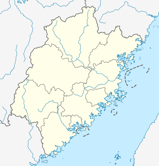 Xiapu Location in Fujian | |
| Coordinates: 26°57′37″N 119°58′28″E / 26.96028°N 119.97444°ECoordinates: 26°57′37″N 119°58′28″E / 26.96028°N 119.97444°E | |
| Country | People's Republic of China |
| Province | Fujian |
| Prefecture-level city | Ningde |
| Area | |
| • Total | 1,716 km2 (663 sq mi) |
| Population | |
| • Total | 355,100 |
| • Density | 210/km2 (540/sq mi) |
| Time zone | China Standard (UTC+8) |

Xiapu (Chinese: 霞浦; pinyin: Xiápǔ; Foochow Romanized: Hà-puō) is a county in the municipal region of Ningde, Fujian, People's Republic of China, located along a stretch of East China Sea coast, with many harbours and islands. It is bordered by Fuding City and Zherong County to the north, Fu'an City and Ningde's urban area to the west, and—in Fuzhou City—Luoyuan County to the south.
- Area: 1,716 square kilometres (663 sq mi)
- Population: 510,000
- Postal code: 355100
Administration
The county executive, legislature and judiciary are in Songcheng Town (松城镇), together with the CPC and PSB branches.
Xiapu has jurisdiction over 6 other towns (zhen, 镇) and over 7 townships (xiang, 乡), of which three are zoned Affirmative action-like for the native She people.[1]
Towns
- Sansha (三沙镇)
- Yacheng (牙城镇)
- XiNan(溪南镇)
- Shajiang (沙江镇)
- Xiahu (下浒镇)
- Changchun (长春镇)
Townships
- Boyang (柏洋乡)
- Beibi (北壁乡)
- Haido (海岛乡)
- Zhouyang (州洋乡)
- Yantian She-nation Ethnic Township (盐田畲族乡)
- Shuimen She-nation Ethnic Township (水门畲族乡)
- Chongru She-nation Ethnic Township (崇儒畲族乡)
Scenic Areas

- Yushan Island (嵛山岛)
- Xiahu Beach (下浒海滩)
Transportation
- Xiapu Railway Station on the Wenzhou-Fuzhou Railway
Xiapu in the News
In 2009 August 9, Xiapu was where Typhoon Morakot made continental landfall. A million people had just been evacuated from vulnerable areas of this and surrounding counties.
Notes and references
- ↑ "Archived copy". Archived from the original on July 7, 2011. Retrieved August 9, 2009.
External links
| Wikimedia Commons has media related to Xiapu. |