Wuchale
| Wuchale | |
|---|---|
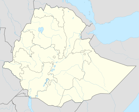 Wuchale Location within Ethiopia | |
| Coordinates: 11°30′N 39°36′E / 11.500°N 39.600°ECoordinates: 11°30′N 39°36′E / 11.500°N 39.600°E | |
| Country | Ethiopia |
| Region | Amhara |
| Zone | Debub Wollo |
| Elevation | 1,711 m (5,614 ft) |
| Population (2005) | |
| • Total | 6,811 |
| Time zone | EAT (UTC+3) |
Wuchale (also spelled Uccialli) is a town in northern Ethiopia. Located about 40 km north of Dessie in the Debub Wollo Zone of the Amhara Region, this town has a latitude and longitude of 11°30′N 39°36′E / 11.500°N 39.600°E and an elevation of 1711 m. It is the largest settlement in Ambassel woreda and is located along Ethiopian Highway 2.
History
In 1889, when it was a fief of Queen Taytu, Italian ambassador Count Pietro Antonelli met with Emperor Menelik II at Wuchale shortly after the death in battle of Emperor Yohannes IV. The two countries came to an agreement known as the Treaty of Wuchale, which was signed on 2 May.[1] Differences between the two versions, one written in Amharic the other in Italian, led to the First Italo–Ethiopian War.
Writing a few years later, Augustus B. Wylde described the Wuchale market, held on Mondays, as a small one.[2]
The Tigrayan People's Liberation Front and Ethiopian People's Democratic Movement reported that they had killed 703 government troops and captured 168 in fighting at Wuchale on 29–30 January 1990. However, the Derg announced on 2 February that their troops had retaken the town.[3]
Demographics
Based on figures from the Central Statistical Agency in 2005, Wuchale has an estimated total population of 6,811 of whom 3,326 are men and 3,485 are women.[4] The 1994 census reported this town had a total population of 3,934 of whom 1,750 were men and 2,184 were women.
Notes
- ↑ Chris Prouty, Empress Taytu and Menilek II (Trenton: The Red Sea Press, 1986), pp. 61f. ISBN 0-932415-11-3
- ↑ Augustus B. Wylde, Modern Abyssinia (London: Methuen, 1901), p. 494
- ↑ "Local History in Ethiopia" The Nordic Africa Institute website (accessed 15 February 2008)
- ↑ CSA 2005 National Statistics, Table B.4