Woodall Mountain
| Woodall Mountain | |
|---|---|
 | |
| Highest point | |
| Elevation | 806 ft (246 m) [1] |
| Prominence | 296 ft (90 m) [2] |
| Listing | U.S. state high point 47th |
| Coordinates | 34°47′16″N 88°14′30″W / 34.787739928°N 88.241629444°WCoordinates: 34°47′16″N 88°14′30″W / 34.787739928°N 88.241629444°W [1] |
| Geography | |
 Woodall Mountain | |
| Parent range | Southwest Appalachian Mountains |
| Topo map | USGS Iuka |
| Geology | |
| Age of rock | In the Millions |
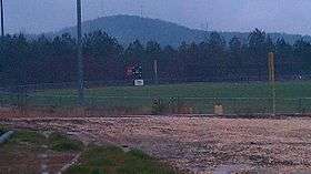
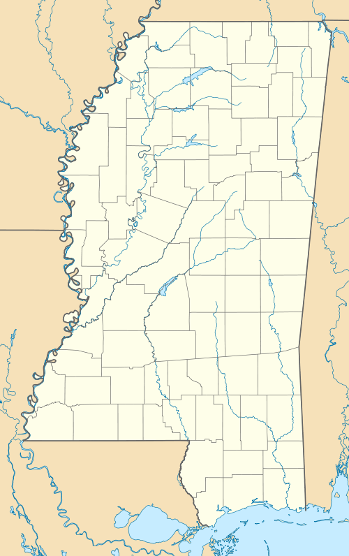
Woodall Mountain is the highest natural point in the state of Mississippi at 807 feet (246 m). It is located just off Mississippi Highway 25, south of Iuka in Tishomingo County in the northeast part of the state.
Description
Located in the northeast part of the state, Woodall Mountain is the highest natural point in the state of Mississippi at 807 feet (246 m). It was originally called Yow Hill.[3] The summit is marked with a National Geodetic Survey triangulation station disk and three radio towers. A sign cautions visitors to prepare for a steep, unpaved, and rocky inclined road approximately a mile in length to the summit.
Atop the hill there is a bench, a high point register, and a gravel circle allowing parking for several vehicles. A wooden observation tower was constructed in the 20th century atop the hill in the middle of the gravel circle. A climb to the top of the tower gave an encompassing view of the surrounding area. It was an excellent vantage point for watching the town of Iuka’s annual fireworks displays. The tower deteriorated over time, with some steps rotting; it was torn down in 1998.
History
Yow Hill was the scene of fighting during the American Civil War. On September 19, 1862, the Battle of Iuka took place there. Union General William Rosecrans occupied the mountain and used it to launch artillery barrages on the town of Iuka, then under the control of General Sterling Price. The battle was a victory for the Union, and Price slipped away to strike another day.[3]

The hill was renamed after Zephaniah Woodall, sheriff of Tishomingo County, who bought it and surrounding land in 1884.[3] Describing this hill as Woodall Mountain is often lampooned by locals. Some nearby stores sell souvenir T-shirts with the phrase "Ski Woodall". But, the mountain rises prominently above the surrounding terrain, is visible for several miles, and provides a good view of the surrounding countryside.
Representation in popular culture
See also
References
- 1 2 "Knob Reset". NGS data sheet. U.S. National Geodetic Survey. Retrieved 2012-10-17.
- ↑ "Woodall Mountain, Mississippi". Peakbagger.com. Retrieved 2012-10-17.
- 1 2 3 Howell, Elmo (1998). Mississippi Back Roads: Notes on Literature and History. Roscoe Langford. p. 140. ISBN 0962202665.
External links
| Wikimedia Commons has media related to Woodall Mountain. |
- "Woodall Mountain". SummitPost.org.