Wondul Range National Park
| Wondul Range National Park Queensland | |
|---|---|
|
IUCN category II (national park) | |
 Wondul Range National Park | |
| Nearest town or city | Millmerran |
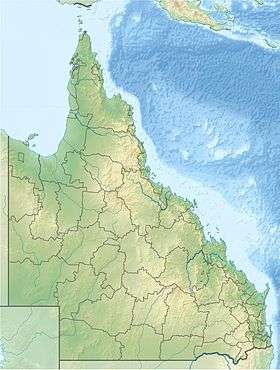
| Coordinates | 28°03′48″S 151°01′20″E / 28.06333°S 151.02222°ECoordinates: 28°03′48″S 151°01′20″E / 28.06333°S 151.02222°E |
| Established | 1992 |
| Area | 35.55 km2 (13.7 sq mi) |
| Managing authorities | Queensland Parks and Wildlife Service |
| See also | Protected areas of Queensland |
Wondul Range is a national park in Queensland, Australia, 209 km west of Brisbane. It is located in the Toowoomba Region local government area of the Darling Downs. The park aims to conserve open woodland species typical of the Western Downs.[1]
It lies within the water catchment area of the Macintyre River and Weir Rivers in the Brigalow Belt South bioregion.[2] Whetstone State Forest lies to the south and Bulli State Forest to the west, both adjacent to the national park.
A total of five rare or threatened species have been identified within Wondul Range National Park.[2] The park has no facilities. The main recreational activities undertaken in the park are bird watching and wildlife observation.[1]
See also
References
- 1 2 "Wondul Range National Park Management Plan 2011" (PDF). Department of Environment and Resource Management. May 2011. Retrieved 15 January 2015.
- 1 2 "Wondul Range National Park". WetlandInfo. Department of Environment and Heritage Protection. Retrieved 15 January 2015.
This article is issued from Wikipedia - version of the 4/5/2016. The text is available under the Creative Commons Attribution/Share Alike but additional terms may apply for the media files.