Witcher Creek
| Witcher Creek | |
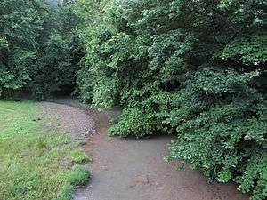 Witcher Creek in Witcher | |
| Country | United States |
|---|---|
| State | West Virginia |
| County | Kanawha |
| Source | |
| - location | west-northwest of Mammoth |
| - elevation | 1,485 ft (453 m) [1] |
| - coordinates | 38°16′30″N 81°24′06″W / 38.2751026°N 81.4017825°W [2] |
| Mouth | Kanawha River |
| - location | between Diamond and Belle |
| - elevation | 591 ft (180 m) [2] |
| - coordinates | 38°13′11″N 81°31′34″W / 38.2198244°N 81.5262290°WCoordinates: 38°13′11″N 81°31′34″W / 38.2198244°N 81.5262290°W [2] |
| Length | 6.8 mi (11 km) |
| Basin | 20.8 sq mi (54 km2) |
| Hydrologic Unit Code | 050500060401 (USGS) |
 A map of Witcher Creek and its watershed | |
Witcher Creek is a tributary of the Kanawha River, 6.8 miles (10.9 km) long,[3] in West Virginia in the United States. Via the Kanawha and Ohio rivers, it is part of the watershed of the Mississippi River, draining an area of 20.8 square miles (54 km2)[4] on the unglaciated portion of the Allegheny Plateau.
Witcher Creek flows for its entire length in eastern Kanawha County. It rises approximately 1.7 miles (2.7 km) west-northwest of Mammoth and flows southwestward through the unincorporated community of Witcher. It flows into the Kanawha River approximately 0.7 miles (1.1 km) southwest of Witcher, between the town of Belle and the unincorporated community of Diamond. The creek is paralleled by a county road for much of its course.[5]
According to the Geographic Names Information System, Witcher Creek has also been known historically by the variant name “Witchers Creek.”
See also
References
- ↑ The National Map elevation for GNIS source coordinates. Retrieved 2013-11-17.
- 1 2 3 Geographic Names Information System. "Geographic Names Information System entry for Witcher Creek (Feature ID #1549259)". Retrieved 2013-11-17.
- ↑ United States Environmental Protection Agency. "West Virginia, Upper Kanawha Watershed". Archived from the original on 2013-11-15. Retrieved 2013-11-18.
- ↑ U.S. Geological Survey. National Hydrography Dataset, area data for Witcher Creek watershed, 12-digit Hydrologic Unit Code 050500060401. The National Map, retrieved 2013-11-18
- ↑ West Virginia Atlas & Gazetteer. Yarmouth, Me.: DeLorme. 1997. p. 52. ISBN 0-89933-246-3.