Williams Fork (Colorado River)
For the tributary of the Yampa River in Colorado, see Williams Fork (Yampa River).
| Williams Fork[1] | |
|---|---|
 | |
| Basin | |
| River mouth |
Confluence with Colorado 7,480 ft (2,280 m) |
| Progression | Colorado |
| Physical characteristics | |
| Length | 34 mi (55 km) |
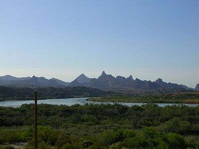
The Williams Fork is a tributary of the Colorado River, approximately 33.8 miles (54.4 km) long,[2] in north central Colorado in the United States. It flows through Grand County between the valleys of the Fraser River and the Blue River. It rises at the juncture of McQueary and Bobtail creeks just west of the Continental Divide 8 miles (13 km) west of Berthoud Pass and 7 miles (11 km) north of the Eisenhower Tunnel in the Arapaho National Forest. It flows north-northwest to the Williams Fork Reservoir, then turns northeast and joins the Colorado at Parshall.
See also
References
- ↑ U.S. Geological Survey Geographic Names Information System: Williams Fork
- ↑ U.S. Geological Survey. National Hydrography Dataset high-resolution flowline data. The National Map, accessed March 18, 2011
Colorado River system | |||||||||||||||
|---|---|---|---|---|---|---|---|---|---|---|---|---|---|---|---|
| Jurisdictions |
|     | |||||||||||||
| Canyons |
| ||||||||||||||
| Natural features |
| ||||||||||||||
| Tributaries | |||||||||||||||
| Engineering |
| ||||||||||||||
| Designated areas | |||||||||||||||
| Related topics | |||||||||||||||
Coordinates: 40°03′23″N 106°10′48″W / 40.0563743°N 106.1800240°W
This article is issued from Wikipedia - version of the 9/11/2016. The text is available under the Creative Commons Attribution/Share Alike but additional terms may apply for the media files.