White Bird Hill Summit
| White Bird Hill Summit | |
|---|---|
  | |
| Elevation | 4,245 ft (1,294 m) |
| Traversed by |
|
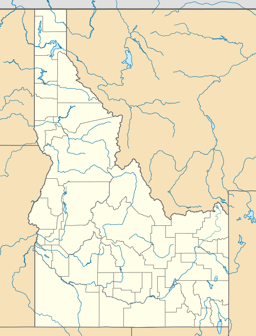
| Location | Idaho County, Idaho, U.S. |
| Range | Clearwater Mountains |
| Coordinates | 45°50′38″N 116°14′13″W / 45.844°N 116.237°WCoordinates: 45°50′38″N 116°14′13″W / 45.844°N 116.237°W |
White Bird Hill Summit is a mountain pass in north central Idaho on U.S. Highway 95. Located in Idaho County, it is midway between White Bird and Grangeville. The summit elevation of the highway is 4,245 feet (1,294 m) above sea level, through a substantial cut.
The modern multi-lane highway was completed 41 years ago,[1] following ten years of construction which concluded with the opening of the bridge at the base over White Bird Creek in June 1975.[2][3][4][5][6] The treeless northbound grade climbs 2,700 feet (820 m) in 7 miles (11 km), an average gradient of over 7%.[5]
The original road was completed in 1921 and first paved in 1938, it rose slightly higher to 4,429 feet (1,350 m), due to the absence of a summit cut. Located to the east, the old road was twice the length and had a multitude of switchbacks ascending a treeless slope. On the present highway, the descent north of the summit is less dramatic as the grade drops less than 900 feet (270 m) in the forest with few curves onto the Camas Prairie towards Grangeville at 3,400 feet (1,040 m).
White Bird Hill Summit marks the divide between the Salmon River and the Camas Prairie. The Battle of White Bird Canyon of the Nez Perce War occurred in the valley south of the summit in 1877. Chief White Bird was a respected leader of the Nez Perce tribe.
As far back as the early 1950s, alternatives were proposed;[7] one in 1952 bypassed the summit and Grangeville by continuing down the lower Salmon River and then climbing up Rock Creek to Graves Creek to Cottonwood.[8]
References
- ↑ "New White Bird to open June 17". Spokane Daily Chronicle. Washington. Associated Press. May 26, 1975. p. 10.
- ↑ "Bids called on Whitebird trestle job". Spokesman-Review. Spokane, Washington. September 24, 1972. p. 16.
- ↑ "White Bird Hill bypass due". Spokane Daily Chronicle. Washington. Associated Press. November 9, 1974. p. 2.
- ↑ "White Bird road cracking". Spokane Daily Chronicle. Washington. Associated Press. December 14, 1974. p. 2.
- 1 2 Roche, Kevin (June 17, 1975). "'Goat trail' symbol breaks as Whitebird route opens". Lewiston Morning Tribune. Idaho. p. 12A.
- ↑ "Grade links Idaho". Spokane Daily Chronicle. Washington. (photos). June 17, 1975. p. 3.
- ↑ "Idaho eyes Whitebird Hill bypass". Spokesman-Review. Spokane, Washington. Associated Press. May 18, 1965. p. 6.
- ↑ "Whitebird cut-off highway issue is revived in Idaho". Spokesman-Review. Spokane, Washington. Associated Press. May 23, 1952. p. 7.
External links
- Visit Idaho.org - official state tourism site
- Idaho Transportation Dept. - roadcam - U.S. 95 - White Bird Hill - north of summit
- Idaho Transportation Dept. - White Bird Bridge - at base of grade - photo