Westway, Texas
| Westway, Texas | |
|---|---|
| Census-designated place | |
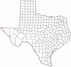 Location of Westway, Texas | |
 | |
| Coordinates: 31°57′33″N 106°34′27″W / 31.95917°N 106.57417°W | |
| Country | United States |
| State | Texas |
| County | El Paso |
| Area | |
| • Total | 1.5 sq mi (3.9 km2) |
| • Land | 1.5 sq mi (3.9 km2) |
| • Water | 0.0 sq mi (0.0 km2) |
| Elevation | 3,960 ft (1,207 m) |
| Population (2010) | |
| • Total | 4,188 |
| • Density | 2,800/sq mi (1,100/km2) |
| Time zone | Mountain (MST) (UTC-7) |
| • Summer (DST) | MDT (UTC-6) |
| ZIP code | 79835 |
| FIPS code | 48-78016[1] |
| GNIS feature ID | 1867573[2] |
Westway is a census-designated place (CDP) in El Paso County, Texas, United States. The population was 4,188 at the 2010 census.[3] It is part of the El Paso Metropolitan Statistical Area. It is located east of Interstate 10 about 2 miles (3 km) from the New Mexico - Texas state line. The ZIP Code encompassing the CDP area is 79835.[4]
Geography
Westway is located at 31°57′33″N 106°34′27″W / 31.959214°N 106.574169°WCoordinates: 31°57′33″N 106°34′27″W / 31.959214°N 106.574169°W (31.959214, -106.574169).[5]
According to the United States Census Bureau, the CDP has a total area of 1.5 square miles (3.9 km2), all of it land.[3]
Demographics
As of the census[1] of 2000, there were 3,829 people, 912 households, and 850 families residing in the CDP. The population density was 2,899.0 people per square mile (1,120.0/km2). There were 1,005 housing units at an average density of 760.9/sq mi (294.0/km2). The racial makeup of the CDP was 98.20% White, 0.47% African American, 0.03% Asian, 0.99% from other races, and 0.31% from two or more races. Hispanic or Latino of any race were 97.47% of the population.
There were 912 households out of which 64.6% had children under the age of 18 living with them, 71.3% were married couples living together, 17.2% had a female householder with no husband present, and 6.7% were non-families. 5.9% of all households were made up of individuals and 2.2% had someone living alone who was 65 years of age or older. The average household size was 4.20 and the average family size was 4.36.
In the CDP the population was spread out with 41.2% under the age of 18, 11.4% from 18 to 24, 28.2% from 25 to 44, 14.8% from 45 to 64, and 4.4% who were 65 years of age or older. The median age was 23 years. For every 100 females there were 97.0 males. For every 100 females age 18 and over, there were 88.9 males.
The median income for a household in the CDP was $21,439, and the median income for a family was $21,134. Males had a median income of $17,197 versus $14,157 for females. The per capita income for the CDP was $6,636. About 35.2% of families and 36.8% of the population were below the poverty line, including 43.9% of those under age 18 and 27.5% of those age 65 or over.
Education
Westway is served by the Canutillo Independent School District. Davenport Elementary School is located in the community and it is zoned to Davenport for pre-kindergarten to fifth grades and to Alderete Middle School in Canutillo for sixth to eighth grades. High-school students attend Canutillo High School and may also attend Northwest High School, the district's early-college magnet high school, should they qualify for admission.
References
- 1 2 "American FactFinder". United States Census Bureau. Retrieved 2008-01-31.
- ↑ "US Board on Geographic Names". United States Geological Survey. 2007-10-25. Retrieved 2008-01-31.
- 1 2 "Geographic Identifiers: 2010 Demographic Profile Data (G001): Westway CDP, Texas". U.S. Census Bureau, American Factfinder. Retrieved January 11, 2013.
- ↑ Zip Codes for Westway, El Paso County, Texas. Retrieved 2013-12-27.
- ↑ "US Gazetteer files: 2010, 2000, and 1990". United States Census Bureau. 2011-02-12. Retrieved 2011-04-23.
Municipalities and communities of El Paso County, Texas, United States | ||
|---|---|---|
| Cities | 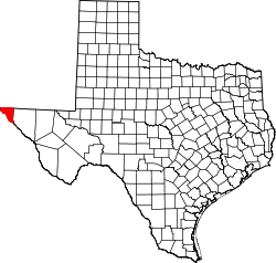 | |
| Towns | ||
| Village | ||
| CDPs | ||
| Unincorporated communities | ||