West Twin River (Washington)
| West Twin River | |
| Country | United States |
|---|---|
| State | Washington |
| County | Clallam |
| Source | Olympic Mountains |
| - coordinates | 48°6′11″N 124°2′32″W / 48.10306°N 124.04222°W [1] |
| Mouth | Strait of Juan de Fuca |
| - coordinates | 48°9′56″N 123°57′10″W / 48.16556°N 123.95278°WCoordinates: 48°9′56″N 123°57′10″W / 48.16556°N 123.95278°W [1] |
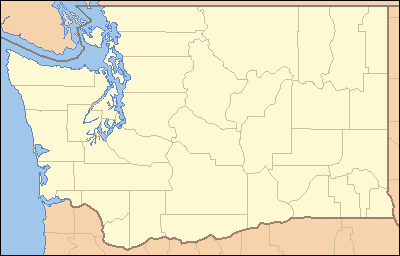 Location of the mouth of the West Twin River in Washington | |
The West Twin River is a stream on the Olympic Peninsula in the U.S. state of Washington. It originates in the northern Olympic Mountains and flows north, emptying into the Strait of Juan de Fuca just east of East Twin River.[2]
Course
The West Twin River originates in the Olympic National Forest in the northern portion of Olympic Peninsula. It flows north and east, entering the Strait of Juan de Fuca near the town of Twin, less than 0.5 miles (0.80 km) east of the mouth of the East Twin River.[2]
See also
References
- 1 2 U.S. Geological Survey Geographic Names Information System: West Twin River
- 1 2 General course info from USGS topographic maps accessed via the "GNIS in Google Map" feature of the USGS Geographic Names Information System website.
This article is issued from Wikipedia - version of the 9/11/2016. The text is available under the Creative Commons Attribution/Share Alike but additional terms may apply for the media files.