West Seti Dam
| West Seti Dam | |
|---|---|
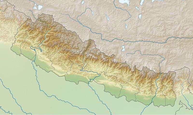 Location of West Seti Dam in Nepal | |
| Country | Nepal |
| Location | Far-Western Development Region |
| Coordinates | 29°21′32″N 80°46′16″E / 29.35889°N 80.77111°ECoordinates: 29°21′32″N 80°46′16″E / 29.35889°N 80.77111°E |
| Status | Proposed |
| Dam and spillways | |
| Type of dam | Concrete faced rockfill dam |
| Impounds | Seti River |
| Height | 195 m (640 ft) |
| Reservoir | |
| Total capacity | 1,566,000,000 m3 (1,270,000 acre·ft) |
| Active capacity | 926,000,000 m3 (751,000 acre·ft) |
| Inactive capacity | 640,000,000 m3 (520,000 acre·ft) |
| Catchment area | 4,022 km2 (1,553 sq mi) |
| Surface area | 20.6 km2 (8.0 sq mi) |
| Max. length | 25.1 km (16 mi) |
| Power station | |
| Hydraulic head | 259 m (850 ft) |
| Turbines | 4 x 187.5 MW Francis-type |
| Installed capacity | 750 MW |
The West Seti Dam is a proposed hydroelectric dam on the Seti River in the Far-Western Development Region of Nepal. The power station would be located approximately 63 kilometres (39 mi) upstream of the Seti River confluence with the Karnali River, with the dam site located a further 19.2 kilometres (11.9 mi) upstream. All project sites, excluding the reservoir area and transmission line corridor, are located in either Doti and/or Dadeldhura Districts. The reservoir area is located in Doti, Dadeldhura, Baitadi and Bajhang Districts. The transmission line corridor is located in Doti, Dadeldhura, Kailali and Kanchanpur districts.
Design
The dam would be a 195-metre (640 ft) high concrete-face rock-fill dam. The dam's catchment area covers the upper 4,022 square kilometres (1,553 sq mi) of the Seti River Basin and its reservoir volume would be 1.5 km3 (1,200,000 acre·ft) of with 926,000,000 m3 (751,000 acre·ft) would be active (or "useful") storage. The reservoir's surface would cover an area of 20.6 km2 (8.0 sq mi) and stretch 25.1 km (16 mi) up river. To produce power, the design calls for a 6.7 km (4 mi) long headrace tunnel which would divert water around 19.2 km (12 mi) of the river's bend to the power station.[1] The power station would have a rated capacity of 750 MW.[2] The drop in elevation from the reservoir to the power station would afford a hydraulic head of 259 m (850 ft).[1]
Background
The dam was to be built by Snowy Mountain Engineering Corporation (SMEC) under West Seti Hydropower Company Limited (WSHPL). However, in June 2011 the Government of Nepal terminated the construction licence due after SMEC failed to construct it.[3][4] In 2010, WSHPL has lost two important investors, the Asian Development Bank and China National Machinery and Equipment Import and Export Corporation. A campaign by organizations opposing the dam also impacted construction. The dam is opposed based on its impact of the environment and relocation of residents.[5][6] In May 2011, China Three Gorges Corporation (CTGC) has expressed its interest in developing the project.[7] In December 2011, Nepal's Ministry of Energy proposed a public–private partnership after CTGC's interest. An official stated "The government is committed to construct the project at any cost".[8]
References
- 1 2 "Nepal: West Seti Hydroelectric Project" (PDF). Environmental Assessment Report. Asian Development Bank. August 2007. Retrieved 31 December 2011.
- ↑ Thapa, Anand B. (July 2009). "Need to Review the West Seti Dam Design". Hydro Nepal: Journal of Water, Energy and Environment. 5: 35–36. doi:10.3126/hn.v5i0.2484. ISSN 1998-5452. Retrieved 2011-12-23.
- ↑ "West Seti Dam, Nepal". International Rivers. July 2011. Retrieved 2011-12-23.
- ↑ Bhandari, Ratan (September 2011). "Nepal Dam's Future Uncertain". International Rivers. Retrieved 2011-12-23.
- ↑ "West Seti Hydropower Co poised to lose licence". International Rivers. 26 July 2011. Retrieved 31 December 2011.
- ↑ "West Seti dam has been put to a stop". Both ENDS. 2 August 2011. Retrieved 31 December 2011.
- ↑ "Three Gorges Corp. Expresses Interest In West Seti Dam". Corporate Financing Analysis. May 2011. Retrieved 2011-12-23.
- ↑ "West Seti Hydro Electricity Project: Govt proposes PPP model". Hydro World. 13 December 2011. Retrieved 31 December 2011.