West Peterborough, New Hampshire
| West Peterborough, New Hampshire | |
|---|---|
| Unincorporated community | |
|
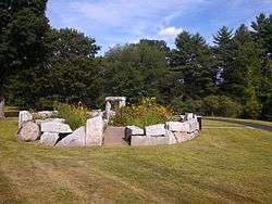
Teixeira Park | |
 West Peterborough  West Peterborough | |
| Coordinates: 42°53′12″N 71°59′05″W / 42.88667°N 71.98472°WCoordinates: 42°53′12″N 71°59′05″W / 42.88667°N 71.98472°W | |
| Country | United States |
| State | New Hampshire |
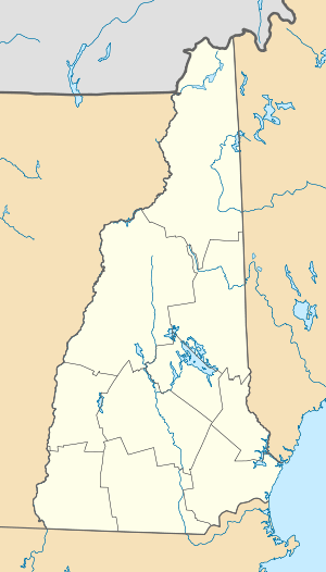
| County | Hillsborough |
| Town | Peterborough |
| Elevation | 863 ft (263 m) |
| Time zone | Eastern (EST) (UTC-5) |
| • Summer (DST) | EDT (UTC-4) |
| ZIP code | 03468 |
| Area code(s) | 603 |
| GNIS feature ID | 870786[1] |
West Peterborough is an unincorporated community in the town of Peterborough in Hillsborough County, New Hampshire, United States. It is located along Nubanusit Brook in the western part of the town. Union Street leads 2 miles (3 km) east to the Peterborough town center and 0.6 miles (1.0 km) south to New Hampshire Route 101, a highway connecting Keene to the west with Milford to the east.
West Peterborough has a separate ZIP code (03468) from the rest of Peterborough.
References
Municipalities and communities of Hillsborough County, New Hampshire, United States | ||
|---|---|---|
| Cities | 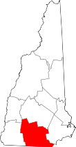 | |
| Towns | ||
| CDPs | ||
| Other villages | ||
This article is issued from Wikipedia - version of the 6/22/2016. The text is available under the Creative Commons Attribution/Share Alike but additional terms may apply for the media files.