Wayta Hirka Punta
| Wayta Hirka Punta | |
|---|---|
 Wayta Hirka Punta Peru | |
| Highest point | |
| Elevation | 4,400 m (14,400 ft) [1] |
| Coordinates | 9°38′53″S 76°28′25″W / 9.64806°S 76.47361°WCoordinates: 9°38′53″S 76°28′25″W / 9.64806°S 76.47361°W |
| Geography | |
| Location | Huánuco Region |
| Parent range | Andes |
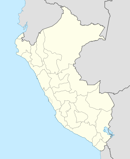
Wayta Hirka Punta (Quechua wayta crest; wild flower; the whistling of the wind, Ancash Quechua hirka mountain, punta peak; ridge; first, before, in front of,[2][3][4] also spelled Huayta Jirca Punta) is a mountain in the Andes of Peru which reaches a height of approximately 4,400 m (14,400 ft). It is located in the Huánuco Region, Dos de Mayo Province, Marías District. Wayta Hirka Punta lies south of Tikti Punta and southeast of a lake named Saqsaqucha ("multi-colored lake").[5]
References
- ↑ Peru 1:100,000, Huánuco 1651, Map prepared and published by the Defense Mapping Agency, Hydrographic/Topographic Center, Washington DC
- ↑ Teofilo Laime Ajacopa, Diccionario Bilingüe Iskay simipi yuyayk'ancha, La Paz, 2007 (Quechua-Spanish dictionary)
- ↑ David Weber, A Grammar of Huallaga (Huánuco) Quechua, University of California Press, p. 185
- ↑ "Vocabulario comparativo, quechua ecuatoriano - quechua ancashino - castellano - English, Brighton 2006" (PDF). Robert Beér, Armando Muyolemaj, Dr. Hernán S. Aguilarpaj. Retrieved March 12, 2016.
- ↑ escale.minedu.gob.pe - UGEL map of the Dos de Mayo Province (Huánuco Region)
This article is issued from Wikipedia - version of the 3/13/2016. The text is available under the Creative Commons Attribution/Share Alike but additional terms may apply for the media files.