Washington State Route 150
| ||||
|---|---|---|---|---|
|
SR 150 is highlighted in red. | ||||
| Route information | ||||
| Auxiliary route of US 97 | ||||
| Defined by RCW 47.17.285 | ||||
| Maintained by WSDOT | ||||
| Length: | 11.76 mi[1] (18.93 km) | |||
| Existed: | 1964[2] – present | |||
| Major junctions | ||||
| West end: | Harris Avenue in Manson | |||
|
| ||||
| East end: |
| |||
| Location | ||||
| Counties: | Chelan | |||
| Highway system | ||||
| ||||


State Route 150 (SR 150) is a 11.76-mile (18.93 km) long state highway serving Chelan County in the U.S. state of Washington. The highway begins in the unincorporated community of Manson and travels southeast along the north shore of Lake Chelan into Chelan, where it is briefly concurrent with U.S. Route 97 Alternate (US 97 Alternate). It ends at US 97 north of the Beebe Bridge on the Columbia River north of Chelan Falls. The road, which has existed since the 1890s, was signed as Secondary State Highway 10C (SSH 10C) and part of SSH 10D in 1937. SSH 10C became SR 151 and SSH 10D became SR 150 in the 1964 highway renumbering, the latter being renumbered in 1987 as part of US 97.
Route description
SR 150 begins at the intersection of Harris Avenue and Wapato Way in the unincorporated community of Manson on the north shore of Lake Chelan.[3] The highway travels southeast parallel to the shore of Lake Chelan into Chelan and turns south to serve Lakeshore Park.[4] Within Chelan, SR 150 is routed east onto Johnson Avenue before turning south onto Saunders Street and intersecting US 97 Alternate and beginning a short concurrency as Woodin Avenue.[1] US 97 Alternate splits off, traveling northeast, and SR 150 continues southeast towards Chelan Falls and crosses over the Cascade and Columbia River Railroad.[5][6] The highway ends at an intersection with US 97 north of the Beebe Bridge on the Columbia River.[7]
Every year the Washington State Department of Transportation (WSDOT) conducts a series of surveys on its highways in the state to measure traffic volume. This is expressed in terms of average annual daily traffic (AADT), which is a measure of traffic volume for any average day of the year. In 2011, WSDOT calculated that between 2,300 and 10,000 vehicles per day used the highway, mostly in Downtown Chelan on Woodin Avenue.[8]
History
An unpaved road connecting the Manson area to Chelan was built in the 1890s after the establishment of Chelan in 1886,[9][10] with an extension of the road to Chelan Falls was built in 1919 to connect to the newly dedicated Beebe Bridge.[11] During the formation of the Primary and secondary state highway system in 1937, the route from Manson to Chelan became SSH 10C, ending at US 97, and the route from Chelan to Chelan Falls became a segment of SSH 10D, beginning at US 2 in Orondo and traveling north to US 97.[12][13] During the 1964 highway renumbering, SSH 10C became SR 150 and SSH 10D became SR 151.[2][14][15] US 97 was re-routed onto the former route of SR 151 towards Chelan Falls in 1987,[14] proposed in the 1950s,[16] and SR 150 was extended to the new bypass of Chelan.[2] U.S 97 Alternate was created on the former route of US 97, becoming concurrent with SR 150 in Downtown Chelan.[17] No major revisions to the route of the highway have occurred since 1987,[18] however WSDOT stabilized unstable slopes near the roadway east of Manson in May 2011 and is planning to replace an intersection with No See-Um Road northwest of Chelan with dedicated left turn lanes or a roundabout in 2014.[19][20]
Major intersections
The entire highway is in Chelan County.
| Location | mi[1] | km | Destinations | Notes | |
|---|---|---|---|---|---|
| Manson | 0.00 | 0.00 | Harris Avenue | Western terminus; continues as Wapato Way | |
| Chelan | 7.95 | 12.79 | West end of SR 150 / US 97 Alternate overlap | ||
| 8.78 | 14.13 | East end of SR 150 / US 97 Alternate overlap | |||
| | 11.76 | 18.93 | Eastern terminus | ||
1.000 mi = 1.609 km; 1.000 km = 0.621 mi
| |||||
References
- 1 2 3 Staff (2012), State Highway Log: Planning Report 2011, SR 2 to SR 971 (PDF), Washington State Department of Transportation, pp. 1076–1079, retrieved January 16, 2013
- 1 2 3 "47.17.285: State route No. 150", Revised Code of Washington, Washington State Legislature, 1987 [1970], retrieved January 16, 2013
- ↑ "Feature Detail Report for: Manson", Geographic Names Information System, United States Geological Survey, September 10, 1979, retrieved January 16, 2013
- ↑ "Feature Detail Report for: Lakeshore Park", Geographic Names Information System, United States Geological Survey, September 10, 1979, retrieved January 16, 2013
- ↑ "Feature Detail Report for: Chelan Falls", Geographic Names Information System, United States Geological Survey, September 10, 1979, retrieved January 16, 2013
- ↑ 2011 Washington State Rail System (PDF) (Map). Washington State Department of Transportation. January 2012. Retrieved January 16, 2013.
- ↑ Google (January 16, 2013). "State Route 150" (Map). Google Maps. Google. Retrieved January 16, 2013.
- ↑ Staff (2011), 2011 Annual Traffic Report (PDF), Washington State Department of Transportation, p. 144, retrieved January 18, 2013
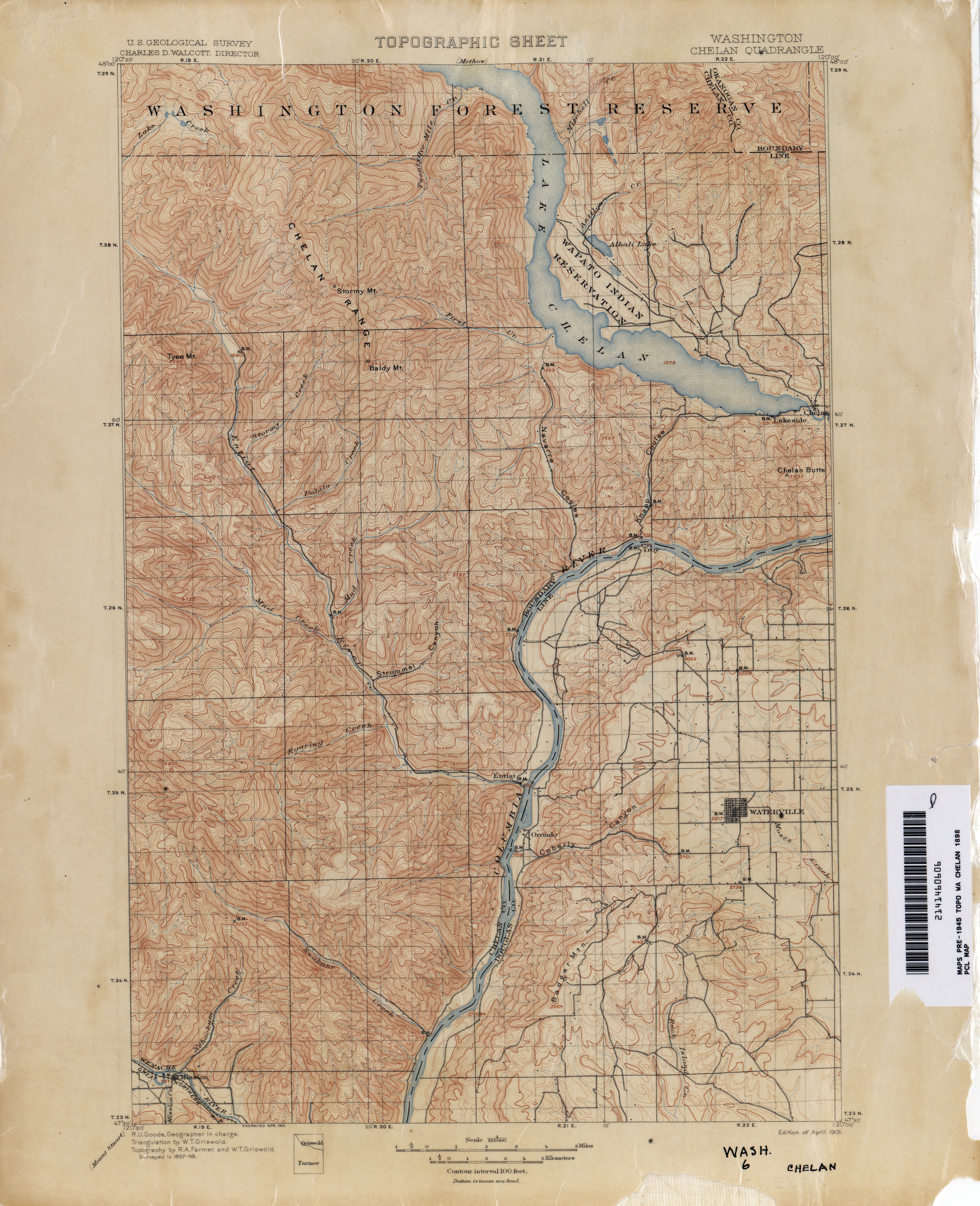
- ↑ Washington: Chelan Quadrangle, 1898 (JPG) (Map). 1:125,000. United States Geological Survey. 1898. Retrieved January 18, 2013.
- ↑ Caldbick, John (August 6, 2012), "Chelan, City of -- Thumbnail History", HistoryLink, retrieved January 18, 2013
- ↑ "Beebe Bridge is Dedicated: Spans Columbia River at Chelan Station", The Spokesman-Review, Spokane, Washington, October 14, 1919, retrieved January 18, 2013
- ↑ Washington State Legislature (March 17, 1937), "Chapter 207: Classification of Public Highways", Session Laws of the State of Washington, Session Laws of the State of Washington (1937 ed.), Olympia, Washington: Washington State Legislature, p. 1007, retrieved January 18, 2013,
(c) Secondary State Highway No. 10C; beginning at Chelan on Primary State Highway No. 10, thence in a northwesterly direction by the most feasible route to the north of Lake Chelan to Manson; (d) Secondary State Highway No. 10D; beginning at a wye junction with Primary State Highway No. 10 in the vicinity east of Chelan, thence in a southerly direction by the most feasible route crossing the Columbia river at Chelan Falls to a junction with Primary State Highway No. 2 in the vicinity of Orondo.
- ↑ Highways of the State of Washington (DJVU) (Map). Department of Highways. 1939. Retrieved January 18, 2013.
- 1 2 "47.17.290: State route No. 151", Revised Code of Washington, Washington State Legislature, 1987 [1970], retrieved January 18, 2013
- ↑ Prahl, C. G. (December 1, 1965), Identification of State Highways (PDF), Washington State Highway Commission, Department of Highways, retrieved January 18, 2013
- ↑ "Wenatchee-Pateros Highway Favored", Spokane Daily Chronicle, February 3, 1953, retrieved January 18, 2013
- ↑ "47.17.157: State route No. 97-alternate", Revised Code of Washington, Washington State Legislature, 1987, retrieved January 18, 2013
- ↑ Washington State Highways, 2011–2012 (PDF) (Map). 1:842,000. Washington State Department of Transportation. 2011. Retrieved January 18, 2013.
- ↑ Romine, Bob (May 2011), SR 150 - 3 Miles East of Manson - Slope Stabilization - Complete May 2011, Washington State Department of Transportation, retrieved January 18, 2013
- ↑ Waligorski, Kevin, SR 150 - No See-Um Road Intersection Improvements, Washington State Department of Transportation, retrieved January 18, 2013