Washington State Route 100
| ||||
|---|---|---|---|---|
|
SR 100 is highlighted in red. | ||||
| Route information | ||||
| Auxiliary route of US 101 | ||||
| Defined by RCW 47.17.163 | ||||
| Maintained by WSDOT | ||||
| Length: | 4.68 mi[1] (7.53 km) | |||
| Existed: | 1991[2] – present | |||
| Tourist routes: | Lewis and Clark Trail Scenic Byway | |||
| Major junctions | ||||
| CCW end: |
| |||
| CW end: |
| |||
| Location | ||||
| Counties: | Pacific | |||
| Highway system | ||||
| ||||


State Route 100 (SR 100) is a 4.68-mile-long (7.53 km) state highway in the U.S. state of Washington, serving Cape Disappointment State Park in Pacific County. The highway travels counterclockwise from U.S. Route 101 (US 101) in Ilwaco south to Cape Disappointment and north to an intersection with itself in Ilwaco. SR 100, part of the Lewis and Clark Trail Scenic Byway, serves as a loop route and has a spur route that serves the state park and a Coast Guard station. SR 100 was established in 1991 on the existing North Head Road, which was a paved county road by the late 1950s. The highway was washed away during a 1994 winter storm and had its spur route shortened in 2006.
Route description

SR 100 begins at an intersection with US 101 in Ilwaco as the highway turns north onto 1st Avenue towards Seaview.[3] The highway, part of the Lewis and Clark Trail Scenic Byway,[4][5] travels west on Spruce Street through an intersection with the clockwise terminus of SR 100, on 2nd Avenue, and continues towards the Pacific Ocean on North Head Road. SR 100 turns south along the Pacific coast past North Head Lighthouse and into Cape Disappointment State Park on Robert Gray Drive.[6][7] The highway intersects its spur route that travels south on Fort Canby Road towards Coast Guard Station Cape Disappointment.[8] SR 100 turns north and travels into Ilawaco along Baker Bay and the Columbia River before it ends at an intersection with SR 100 a block from its terminus at US 101.[1][9][10]
Every year, the Washington State Department of Transportation (WSDOT) conducts a series of surveys on its highways in the state to measure traffic volume. This is expressed in terms of average annual daily traffic (AADT), which is a measure of traffic volume for any average day of the year. In 2011, WSDOT calculated that the busiest section of SR 100 was its terminus at US 101 in Illwaco, serving 2,100 vehicles, while the least busiest section was the intersection with its spur route in Cape Disappointment State Park, serving 650 vehicles.[11]
History
The North Head Road portion of SR 100, traveling west from Ilwaco to the Pacific coast and south to Cape Disappointment within Fort Canby State Park, has existed as a paved roadway since 1957.[12][13] SR 100 was established in 1991 by the Washington State Legislature and was made into a complete loop route around the cape, with a short spur route traveling south into Fort Canby State Park,[2] later renamed to Cape Disappointment State Park.[7] Robert Gray Way was rebuilt after a 1994 winter storm washed away the roadway into Baker Bay.[14]
Spur route
| |
|---|---|
| Location: | Cape Disappointment State Park |
| Length: | 0.08 mi[1] (0.13 km) |
| Existed: | 1991–present[2] |

SR 100 has a 0.08-mile-long (0.13 km) spur route that travels south from the SR 100 mainline to the boundary of Cape Disappointment State Park.[1] The spur route was established in 1991 along with the main route and was originally 0.61 miles (0.98 km) long until part of the highway was transferred to Pacific County on January 3, 2006.[15][16]
Major intersections
The entire highway is in Pacific County.
| Location | mi[1] | km | Destinations | Notes | |
|---|---|---|---|---|---|
| Ilwaco | 0.00 | 0.00 | Counterclockwise terminus | ||
| 0.06 | 0.097 | Clockwise terminus of SR 100 | |||
| Cape Disappointment State Park | 2.95 | 4.75 | |||
| Ilwaco | 4.68 | 7.53 | Clockwise terminus | ||
| 1.000 mi = 1.609 km; 1.000 km = 0.621 mi | |||||
References
- 1 2 3 4 5 Staff (2012). "State Highway Log: Planning Report 2012, SR 2 to SR 971" (PDF). Washington State Department of Transportation. pp. 886–887. Retrieved March 5, 2013.
- 1 2 3 "47.17.163: State route No. 100". Revised Code of Washington. Washington State Legislature. 1991. Retrieved November 23, 2008.
- ↑ "Feature Detail Report for: Ilwaco". Geographic Names Information System. United States Geological Survey. September 10, 1979. Retrieved March 5, 2013.
- ↑ Washington State Highways, 2006–07: Scenic Byways (PDF) (Map). 1:842,000. Washington State Department of Transportation. 2006. Retrieved March 5, 2013.
- ↑ "47.39.020: Designation of portions of existing highways and ferry routes as part of system.". Revised Code of Washington. Washington State Legislature. 1967; revised 1969, 1970, 1971, 1973, 1990, 1991, 1992, 1993, 2003, 2009, 2010, 2011. Retrieved March 5, 2013. Check date values in:
|date=(help) - ↑ "Feature Detail Report for: North Head Lighthouse". Geographic Names Information System. United States Geological Survey. September 10, 1979. Retrieved March 5, 2013.
- 1 2 "Feature Detail Report for: Cape Disappointment State Park". Geographic Names Information System. United States Geological Survey. May 1, 1991. Retrieved March 5, 2013.
- ↑ "Feature Detail Report for: Coast Guard Station Cape Disappointment". Geographic Names Information System. United States Geological Survey. November 17, 2008. Retrieved March 5, 2013.
- ↑ Google (March 5, 2013). "State Route 100" (Map). Google Maps. Google. Retrieved March 5, 2013.
- ↑ Cape Disappointment State Park (PDF) (Map). Washington State Parks. March 16, 2010. Retrieved March 5, 2013.
- ↑ Staff (2011). "2011 Annual Traffic Report" (PDF). Washington State Department of Transportation. p. 125. Retrieved March 5, 2013.
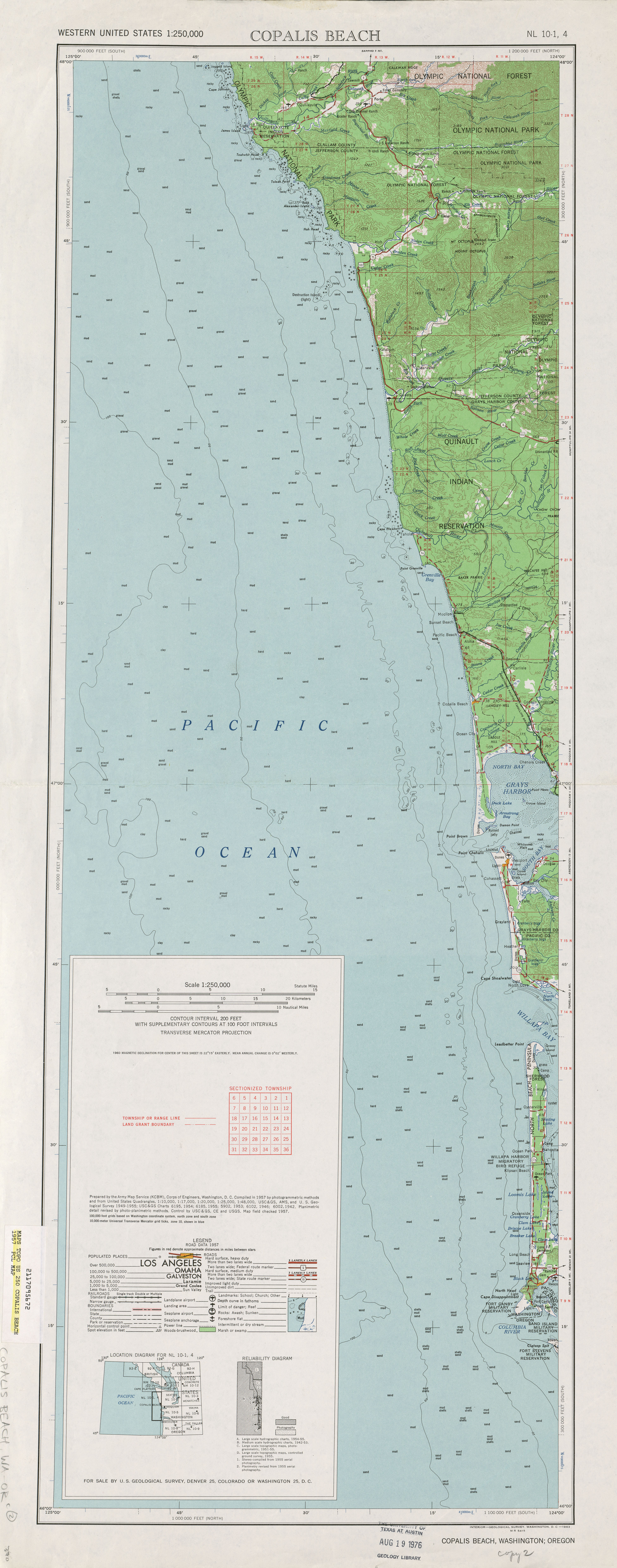
- ↑ Copalis Beach, 1957 (JPG) (Map). 1:250,000. United States Geological Survey. 1957. Retrieved March 5, 2013.
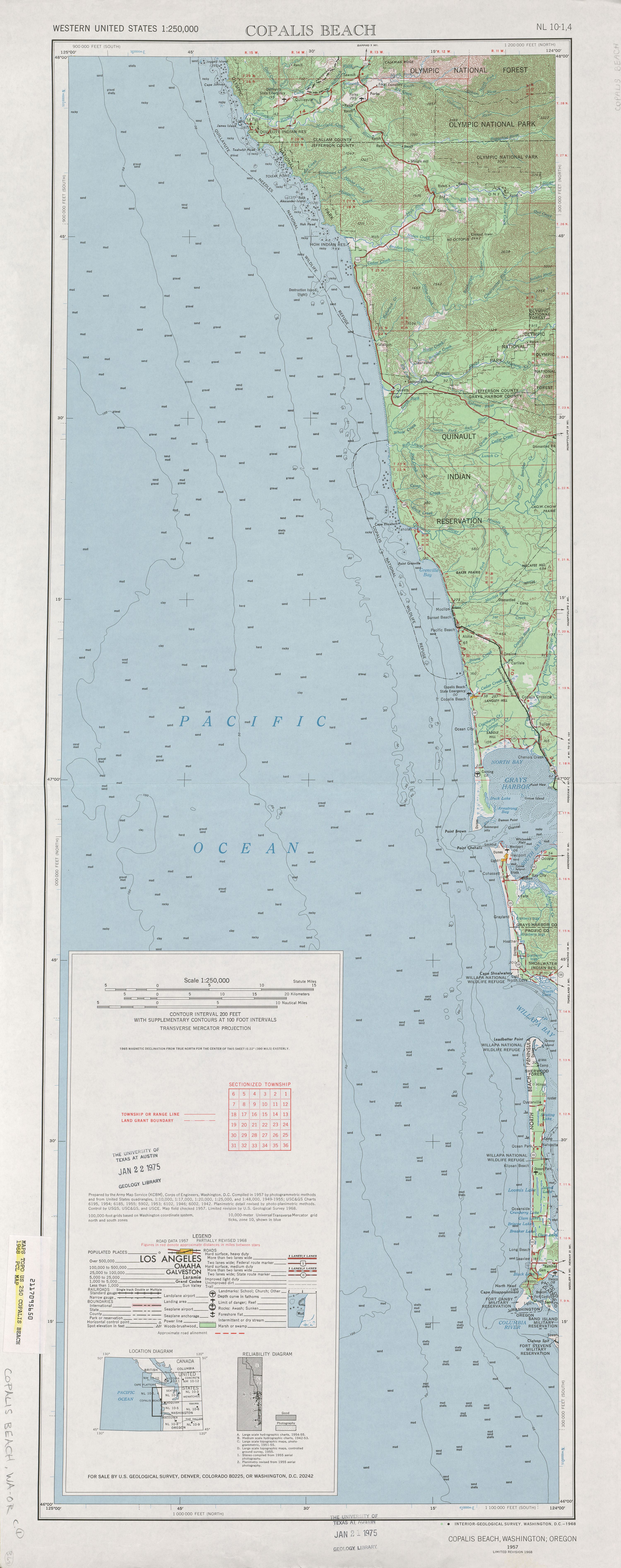
- ↑ Copalis Beach, 1968 (JPG) (Map). 1:250,000. United States Geological Survey. 1968. Retrieved March 5, 2013.
- ↑ Associated Press (December 29, 1994). "Peninsula roads suffer from repeated flooding". Ellensburg Daily Record. p. 9. Retrieved March 5, 2013.
- ↑ "Highway signed over to State Parks". Chinook Observer. December 21, 2005.
- ↑ Staff (2005). "State Highway Log: Planning Report 2005B, SR 2 to SR 971" (PDF). Washington State Department of Transportation. pp. 831–832. Retrieved March 5, 2013.
External links
Former or proposed State Routes: SR 111 | ||