Wanq'uri
| Wanq'uri | |
|---|---|
 Wanq'uri Peru | |
| Highest point | |
| Elevation | 5,074.9 m (16,650 ft) [1] |
| Coordinates | 17°7′44″S 69°40′53″W / 17.12889°S 69.68139°WCoordinates: 17°7′44″S 69°40′53″W / 17.12889°S 69.68139°W |
| Geography | |
| Location | Peru, Puno Region, El Collao Province |
| Parent range | Andes |
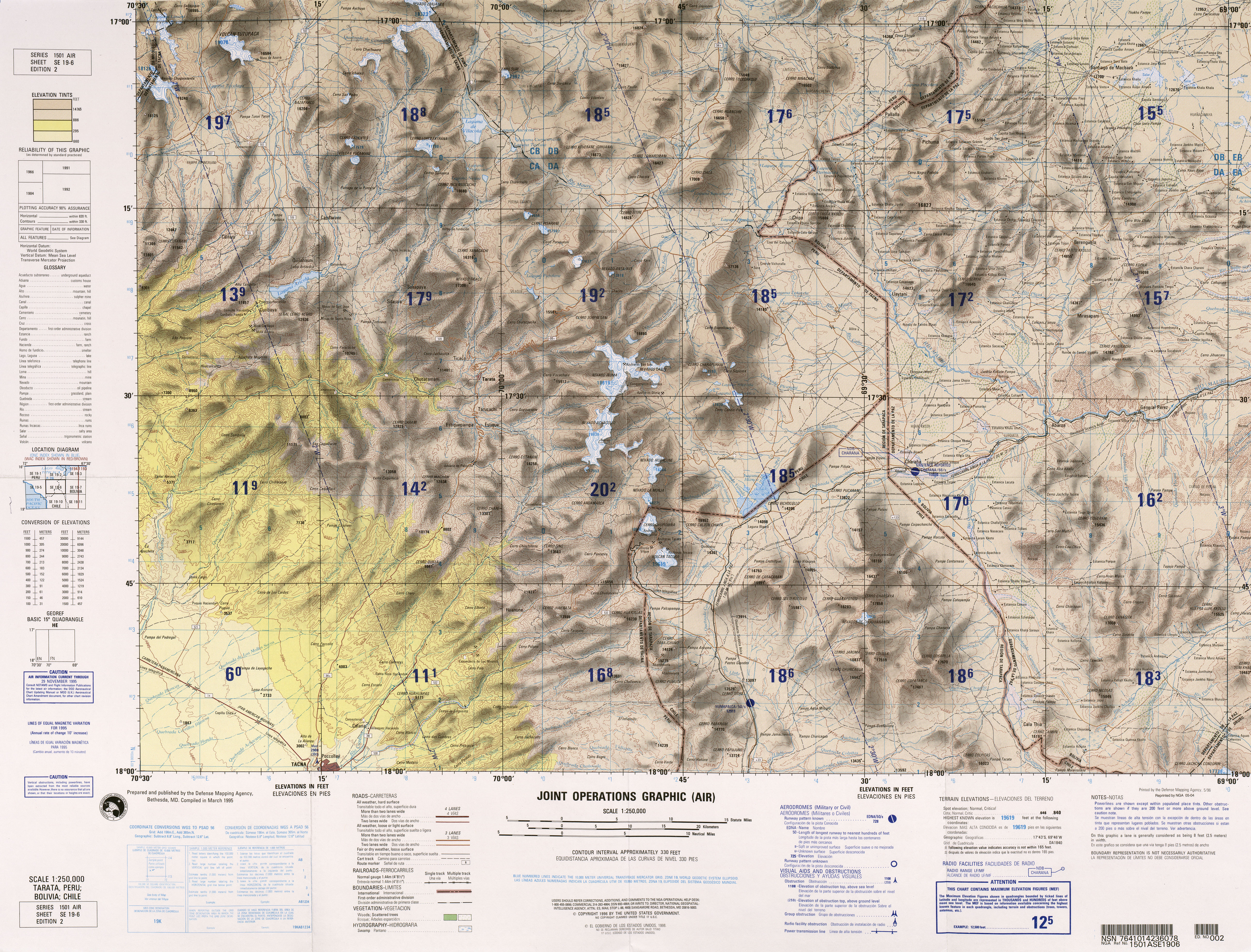
Wanq'uri (Aymara wanq'u guinea pig,[2] -ri a suffix, hispanicized spelling Huancure) is a mountain in the Andes of southern Peru, about 5,074.9 metres (16,650 ft) high. It lies in the Puno Region, El Collao Province, Capazo District. Wanq'uri is situated southeast of the mountain Sura Wiqu and northeast of the mountains Tuma Tumani and Ch'ila (Chila).[3]
References
- ↑ "South America Maps". Joint Operations Graphic. Retrieved July 15, 2014.
- ↑ Radio San Gabriel, "Instituto Radiofonico de Promoción Aymara" (IRPA) 1993, Republicado por Instituto de las Lenguas y Literaturas Andinas-Amazónicas (ILLLA-A) 2011, Transcripción del Vocabulario de la Lengua Aymara, P. Ludovico Bertonio 1612 (Spanish-Aymara-Aymara-Spanish dictionary)
- ↑ escale.minedu.gob.pe - UGEL map of the El Collao Province (Puno Region)
This article is issued from Wikipedia - version of the 12/7/2015. The text is available under the Creative Commons Attribution/Share Alike but additional terms may apply for the media files.