Wanq'uni (Cochabamba)
This article is about the mountain in the Cochabamba Department. For other uses, see Wanq'uni.
| Wanq'uni | |
|---|---|
 Wanq'uni Location within Bolivia | |
| Highest point | |
| Elevation | 3,760 m (12,340 ft) [1] |
| Coordinates | 17°46′58″S 65°40′19″W / 17.78278°S 65.67194°WCoordinates: 17°46′58″S 65°40′19″W / 17.78278°S 65.67194°W |
| Geography | |
| Location |
Bolivia, Cochabamba Department |
| Parent range | Andes |
Wanq'uni (Aymara wanq'u guinea pig,[2] -ni a suffix, "the one with the guinea pigs", also spelled Huancuni) is a mountain in the Bolivian Andes which reaches a height of approximately 3,760 m (12,340 ft). It is located in the Cochabamba Department, Mizque Province, Alalay Municipality. It lies northeast of Inka Pirqa.[1][3]
References
- 1 2 Bolivia 1:100,000 Punata 3735
- ↑ Radio San Gabriel, "Instituto Radiofonico de Promoción Aymara" (IRPA) 1993, Republicado por Instituto de las Lenguas y Literaturas Andinas-Amazónicas (ILLLA-A) 2011, Transcripción del Vocabulario de la Lengua Aymara, P. Ludovico Bertonio 1612 (Spanish-Aymara-Aymara-Spanish dictionary)
- ↑ "Alalay". INE, Bolivia. Retrieved April 6, 2016.
Capital: Cochabamba | ||
| Provinces | 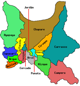 | |
| Municipalities (and seats) |
| |
This article is issued from Wikipedia - version of the 4/6/2016. The text is available under the Creative Commons Attribution/Share Alike but additional terms may apply for the media files.