Samail
| Samail | |
|---|---|
| Town | |
|
Masjid Mazin bin Ghadouba, Oman's oldest mosque | |
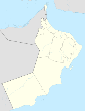 Samail Location in Oman | |
| Coordinates: 23°18′N 57°59′E / 23.300°N 57.983°E | |
| Country |
|
| Region | Ad Dakhiliyah |
| Time zone | +4 (UTC+4) |


A fort in Sumail, Oman
Samail (Arabic: سمائل) is a Wilayah (town) located in the Ad Dakhiliyah Region of the Sultanate of Oman.
Climate
| Climate data for Samail (1998-2009) | |||||||||||||
|---|---|---|---|---|---|---|---|---|---|---|---|---|---|
| Month | Jan | Feb | Mar | Apr | May | Jun | Jul | Aug | Sep | Oct | Nov | Dec | Year |
| Average high °C (°F) | 25.1 (77.2) |
28.2 (82.8) |
32.5 (90.5) |
37.4 (99.3) |
41.9 (107.4) |
43.5 (110.3) |
42.9 (109.2) |
42.1 (107.8) |
39.8 (103.6) |
36.5 (97.7) |
31.0 (87.8) |
26.8 (80.2) |
35.6 (96.1) |
| Average low °C (°F) | 14.7 (58.5) |
16.5 (61.7) |
20.0 (68) |
24.4 (75.9) |
29.1 (84.4) |
31.0 (87.8) |
31.4 (88.5) |
30.2 (86.4) |
27.8 (82) |
23.8 (74.8) |
19.9 (67.8) |
16.3 (61.3) |
23.8 (74.8) |
| Average precipitation mm (inches) | 5.4 (0.213) |
8.4 (0.331) |
19.3 (0.76) |
6.2 (0.244) |
0.7 (0.028) |
11.7 (0.461) |
3.5 (0.138) |
3.5 (0.138) |
1.7 (0.067) |
2.0 (0.079) |
10.1 (0.398) |
9.3 (0.366) |
81.8 (3.223) |
| Source: World Meteorological Organization (temperature and rainfall 1998–2009)[1] | |||||||||||||
References
- ↑ "Climatological Information - Samail". World Meteorological Organization. Retrieved 28 March 2016.
Coordinates: 23°18′N 57°59′E / 23.300°N 57.983°E
Capital: Nizwa | |
| Wilayah | |
| Towns and villages | |
This article is issued from Wikipedia - version of the 9/19/2016. The text is available under the Creative Commons Attribution/Share Alike but additional terms may apply for the media files.