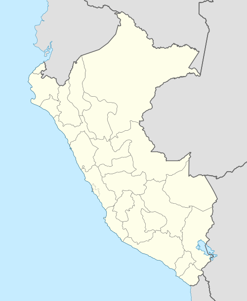
Wachwa
| Wachwa | |
|---|---|
 Wachwa Peru | |
| Highest point | |
| Elevation | 5,300 m (17,400 ft) [1] |
| Coordinates | 11°38′59″S 76°19′22″W / 11.64972°S 76.32278°WCoordinates: 11°38′59″S 76°19′22″W / 11.64972°S 76.32278°W |
| Geography | |
| Location | Peru, Lima Region |
| Parent range | Andes |
Wachwa (Quechua for Andean goose,[2][3][4] hispanicized spelling Huachhua) is a mountain in the Andes of Peru, about 5,300 metres (17,388 ft) high. It is situated in the Lima Region, Huarochiri Province, on the border of the districts of Carampoma and Chicla.[1] Wachwa lies southwest of Ukrupata and Millpu and southeast of the lake named Wachwaqucha (Quechua for "Andean goose lake", hispanicized and broken name Huachuguacocha).
References
- 1 2 escale.minedu.gob.pe - UGEL map of the Huarochirí Province (Lima Region)
- ↑ Abdón Yaranga Valderrama: Diccionario Quechua-Español / Runa Simi-Español. Lima / Paris 2003: wachwa: Chloephaga melanoptera, syn. wallata
- ↑ Panoramio: Chloephaga melanoptera (Huachua)
- ↑ Informac SGRNMA al 31.12.07: huashua (Chloephga melanoptera), [...] huachua (Chloephaga melanoptera).
This article is issued from Wikipedia - version of the 12/7/2015. The text is available under the Creative Commons Attribution/Share Alike but additional terms may apply for the media files.