Verkiai
| Verkiai | |
|---|---|
| Eldership | |
|
| |
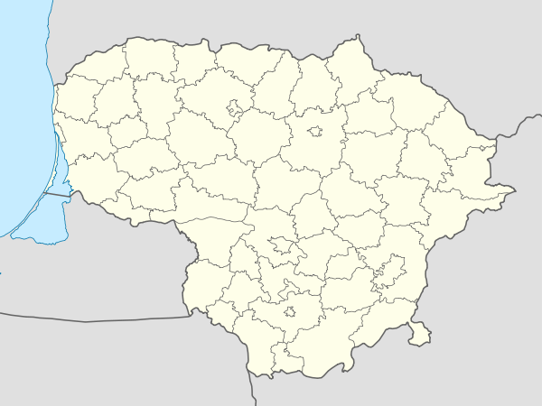 Verkiai Location of Verkiai | |
| Coordinates: 54°45′11″N 25°17′53″E / 54.75306°N 25.29806°ECoordinates: 54°45′11″N 25°17′53″E / 54.75306°N 25.29806°E | |
| Country |
|
| County | Vilnius County |
| Municipality | Vilnius city municipality |
| Area | |
| • Total | 56 km2 (22 sq mi) |
| Population (2011) | |
| • Total | 42,179 |
| • Density | 750/km2 (2,000/sq mi) |
| Time zone | EET (UTC+2) |
| • Summer (DST) | EEST (UTC+3) |

Verkiai is a northernmost eldership in Vilnius, Lithuania. Historically it was a separate settlement situated north of Vilnius but today it is a part of Vilnius city municipality. It occupies 5,565 ha and has 42,179 inhabitants. Verkiai Regional Park has been established in 1991 to preserve a valuable composition of historical, cultural, architectural, and nature landmarks.
Landmarks
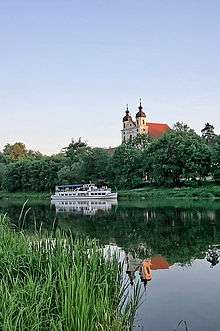
Verkiai has been known from Middle Ages, since Bishop of Vilnius built his palace here. It has been a residence of noble families in Verkiai Palace.
Verkiai Calvary is the second oldest Calvary in Lithuania established in 1662–69. Almost all chapels and gates (except those nearby the Roman Catholic Church of The Discovery of The Holy Cross), were demolished by the Soviet Union in 1963. They were reconstructed by 2002 in their original predominantly in Baroque style. The eldership also includes Baroque The Holy Trinity Church in and a Trinitarian monastery in Trinapolis.