Varhaug (municipality)
| Varhaug herad | |
|---|---|
| Former Municipality | |
|
View of Varhaug Church, the main church for the municipality | |
 Varhaug herad Location in Rogaland county | |
| Coordinates: 58°37′05″N 05°39′25″E / 58.61806°N 5.65694°ECoordinates: 58°37′05″N 05°39′25″E / 58.61806°N 5.65694°E | |
| Country | Norway |
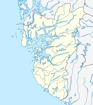
| Region | Western Norway |
| County | Rogaland |
| District | Jæren |
| Municipality ID | NO-1118 |
| Adm. Center | Varhaug |
| Area[1] | |
| • Total | 85 km2 (33 sq mi) |
| Time zone | CET (UTC+01:00) |
| • Summer (DST) | CEST (UTC+02:00) |
| Created from | Hå in 1894 |
| Merged into | Hå in 1964 |

Varhaug is a former municipality in Rogaland county, Norway. The 85-square-kilometre (33 sq mi) municipality existed from 1894 until 1964. The administrative centre of the municipality was the village of Varhaug where Varhaug Church is located. The municipality encompasses the central part of the present-day municipality of Hå. It included the villages of Varhaug and Vigrestad as well as the surrounding countryside.[1]
History
The municipality of Varhaug was established when the old municipality of Hå was divided into two municipalities: Nærbø (population: 1801) and Varhaug (population: 1806). On 1 January 1964, there were many major municipal mergers in Norway due to the work of the Schei Committee. On that date the municipalities of Varhaug, Nærbø, and Ogna were all merged together to form the municipality of Hå. The village of Varhaug became the administrative centre for the new, larger municipality. Prior to the merger, Varhaug municipality had a population of 3,454.[2]
See also
References
- 1 2 Store norske leksikon. "Varhaug – tidligere kommune" (in Norwegian). Retrieved 2016-06-10.
- ↑ Jukvam, Dag (1999). "Historisk oversikt over endringer i kommune- og fylkesinndelingen" (PDF) (in Norwegian). Statistisk sentralbyrå.