Vallabhnagar
| Vallabhnagar Untala | |
|---|---|
| Village | |
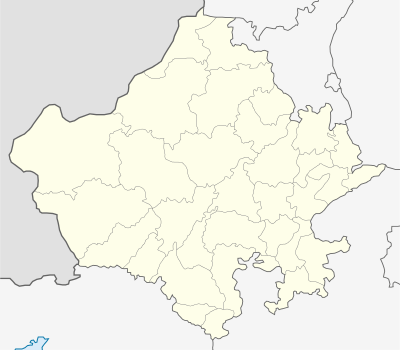 Vallabhnagar  Vallabhnagar Location in Rajasthan, India | |
| Coordinates: 24°40′23″N 74°00′09″E / 24.67306°N 74.00250°ECoordinates: 24°40′23″N 74°00′09″E / 24.67306°N 74.00250°E | |
| Country |
|
| State | Rajasthan |
| District | Udaipur |
| Elevation | 481 m (1,578 ft) |
| Population (2001) | |
| • Total | 7,581 |
| Languages | |
| • Official | Hindi |
| Time zone | IST (UTC+5:30) |
| PIN | 313601 |
| Telephone code | 02957 |
| Vehicle registration | RJ 27 |
| Lok Sabha constituency | Udaipur |
Vallabhnagar (वल्लभनगर) is a town and tehsil headquarters in Udaipur in the Indian state of Rajasthan.
Geography
Vallabhnagar is located at 24°40′N 74°00′E / 24.67°N 74.00°E.[1] It has an average elevation of 481 meters (1,578 feet).
Demographics
As of 2001 India Census,[2] Vallabhnagar had a population of 230818. Male population is 116900, while female population is 113918.[3]
References
- ↑ Flickr Geo API Explorer: Vallabhnagar
- ↑ "Census of India 2001: Data from the 2001 Census, including cities, villages and towns (Provisional)". Census Commission of India. Archived from the original on 2004-06-16. Retrieved 2008-11-01.
- ↑ Censusindia.gov.in
External links
This article is issued from Wikipedia - version of the 9/14/2016. The text is available under the Creative Commons Attribution/Share Alike but additional terms may apply for the media files.