Vadakkanandal
| Kachirayapalayam | |
|---|---|
| town | |
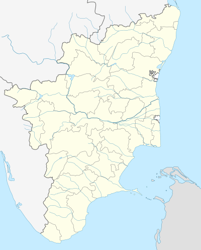 Kachirayapalayam Location in Tamil Nadu, India | |
| Coordinates: 11°46′37″N 78°51′50″E / 11.777°N 78.864°ECoordinates: 11°46′37″N 78°51′50″E / 11.777°N 78.864°E | |
| Country |
|
| State | Tamil Nadu |
| District | Viluppuram |
| Population (2001) | |
| • Total | 19,857 |
| Languages | |
| • Official | Tamil |
| Time zone | IST (UTC+5:30) |
| PIN | 606207 |
| Vehicle registration | TN-15 |
Vadakkanandal is a panchayat town in Viluppuram district in the Indian state of Tamil Nadu.
Demographics
Vadakanandal is one of the biggest and fastest developing Panchayat towns in kallakurichi Taluk. The agriculture is the backbone of the village. As of 2001 India census,[1] Vadakkanandal had a population of 19,857. Males constitute 51% of the population and females 49%. Vadakkanandal has an average literacy rate of 61%, higher than the national average of 59.5%: male literacy is 72%, and female literacy is 49%. In Vadakkanandal, 12% of the population is under 6 years of age.Kachirayapalayam,Akkarayapalayam,Mettupalayam,Kamaraj Salai are the main places of Vadakananadhal. This place has lot of temples like lord Shiva temple, Thiyagapaadi Amman temple which is considered to be one of the powerful female deity in the surrounding villages.
Colleges and schools
Schools:
- Bharathi Matric Higher Secondary school.
- Vivekanandha Higher Secondary School.
- Govt Boys Higher secondary School.
- Govt Girls Higher Secondary School.
- Mailavan Primary School.
- Asad Middle School.
- Milton Matriculation School.
- classic primary school
Train
The Chinnasalem town's railway station serves trains on the route to Mettur, Cuddalore, Nagore, Pondicherry, Salem, Coimbatore, Mangalore, Bangalore, Chennai and Mumbai.
- Salem to Vriddhachalam passenger
- Bangalore to Karaikkal Fast passenger
- Salem to chennai egmore to dadar express
- Puducherry to Mangalore weekly express
- Yeshwantpur(Bangalore) to Puducherry garib rath
- Erode to chennai egmore special daytime intercity express
Colleges:
- Gomuki ITI
Tourist areas
- Gomuki dam very near 3 KM from Kachirayapalayam.
 Gomuki dam
 - Kalvarayan Hills 5 km from Kachirayapalayam.
- Periyar Falls Around 15 km from Kachirayapalayam.
 Periyar water Falls
 - Megam Falls around 32 km from Kachirayapalayam.
- Kariyalur boat house 32 km ahead of periyar falls.
Agriculture
More than 50% of its population depends on agriculture and gomuki river deserves its importance in irrigation.Because of the presence of Gomuki cooperative sugar factory the main cash crop of this area is sugarcane .This Sugar factory helps in urbanization of vadakanandal and it is inaugurated in 1997 by the chief minister M.Karunanidhi.

Industrial Zone
- Gomuki Sugar factory(C0-Operative)
- Gomuki Drinking Water Plant
References
- ↑ "Census of India 2001: Data from the 2001 Census, including cities, villages and towns (Provisional)". Census Commission of India. Archived from the original on 2004-06-16. Retrieved 2008-11-01.
| State symbols |
|
|---|---|
| Governance |
|
| Topics | |
| Districts |
|
| Major cities | |