Uunarteq
| Uunarteq | |
|---|---|
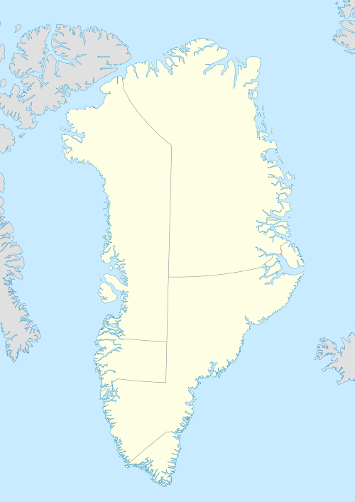 Uunarteq Location within Greenland | |
| Coordinates: 70°25′08″N 21°58′20″W / 70.41889°N 21.97222°WCoordinates: 70°25′08″N 21°58′20″W / 70.41889°N 21.97222°W | |
| State |
|
| Constituent country |
|
| Municipality |
|
| Founded | 1926 |
| Abandoned | 1980s |
| Time zone | UTC-01 |
Uunarteq, formerly Kap Tobin, is an abandoned settlement in the Sermersooq municipality in eastern Greenland, located 7 km (4.3 mi) south of Ittoqqortoormiit.
History
The settlement was founded by fishermen and their families in 1926. In 1947 a telegraph and weather station were erected; the station itself employed roughly 20 people. At its largest extent, the settlement was home for approximately 120 people, with its own grade school. The village housed a seismic station until 1960, when it was closed down.[1] Uunarteq was abandoned as a settlement in the mid-1980s, when the local weather station was closed. Today the remaining buildings serve as cottages for the inhabitants of nearby Ittoqqortoormiit. The last family left the settlement in 2004.
Places of interest
In the area ruins of an early Inuit village can be found. The ruins are located at the nearby hot springs, the average temperature of which is 140 °F (60.0 °C).
References
Abandoned sites in Greenland | ||||||||||||||||||||
|---|---|---|---|---|---|---|---|---|---|---|---|---|---|---|---|---|---|---|---|---|
|
|  | ||||||||||||||||||
|
| |||||||||||||||||||
| Polar exploration | ||||||||||||||||||||
| Paleo-Eskimo | ||||||||||||||||||||