Uthaug
| Uthaug | |
|---|---|
| Village | |
|
View of the village | |
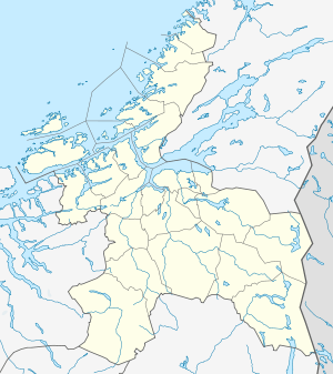 Uthaug  Uthaug Location in Sør-Trøndelag | |
| Coordinates: 63°43′32″N 09°35′59″E / 63.72556°N 9.59972°ECoordinates: 63°43′32″N 09°35′59″E / 63.72556°N 9.59972°E | |
| Country | Norway |
| Region | Trøndelag |
| County | Sør-Trøndelag |
| District | Fosen |
| Municipality | Ørland |
| Area[1] | |
| • Total | 0.37 km2 (0.14 sq mi) |
| Elevation[2] | 8 m (26 ft) |
| Population (2013)[1] | |
| • Total | 442 |
| • Density | 1,195/km2 (3,100/sq mi) |
| Time zone | CET (UTC+01:00) |
| • Summer (DST) | CEST (UTC+02:00) |
| Post Code | 7142 Uthaug |

Uthaug is a village in the municipality of Ørland in Sør-Trøndelag county, Norway. It is located on the south shore of the Bjugnfjorden about 4 kilometres (2.5 mi) west of the village of Opphaug, about 5 kilometres (3.1 mi) north of the town of Brekstad, and about 3 kilometres (1.9 mi) east of the Kjeungskjær lighthouse. Ørland Airport lies just south of the village.
The 0.37-square-kilometre (91-acre) village has a population (2013) of 442. This gives the village a population density of 1,195 inhabitants per square kilometre (3,100/sq mi).[1]
Uthaug is home to fish processing and concrete manufacturing industries. It also has a good harbor with a breakwater. The Uthaugsgården museum is an old preserved trading post that is located in the village.[3]
References
- 1 2 3 Statistisk sentralbyrå (1 January 2013). "Urban settlements. Population and area, by municipality.".
- ↑ "Uthaug" (in Norwegian). yr.no. Retrieved 2011-01-13.
- ↑ Store norske leksikon. "Uthaug" (in Norwegian). Retrieved 2011-01-13.