Upper Staploe
Coordinates: 52°13′28″N 0°19′50″W / 52.22443°N 0.33062°W
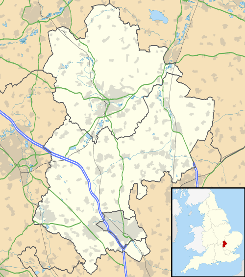
Upper Staploe is a hamlet located in the Borough of Bedford in the county of Bedfordshire, England.[1] The settlement is close to Honeydon and Staploe, and forms part of the Staploe civil parish (where the 2011 Census population was included).[2] Upper Staploe lies close to the county border with the Huntingdonshire district of Cambridgeshire.[1]
References
- 1 2 Ordnance Survey: Landranger map sheet 153 Bedford & Huntingdon (St Neots & Biggleswade) (Map). Ordnance Survey. 2013. ISBN 9780319231722.
- ↑ "Ordnance Survey Election Maps". www.ordnancesurvey.co.uk. Ordnance Survey. Retrieved 3 April 2016.
This article is issued from Wikipedia - version of the 11/13/2016. The text is available under the Creative Commons Attribution/Share Alike but additional terms may apply for the media files.