Union, Kentucky
| Union | |
|---|---|
| City | |
| Motto: Proud Past, Promising Future! | |
 Location within Boone County and the state of Kentucky | |
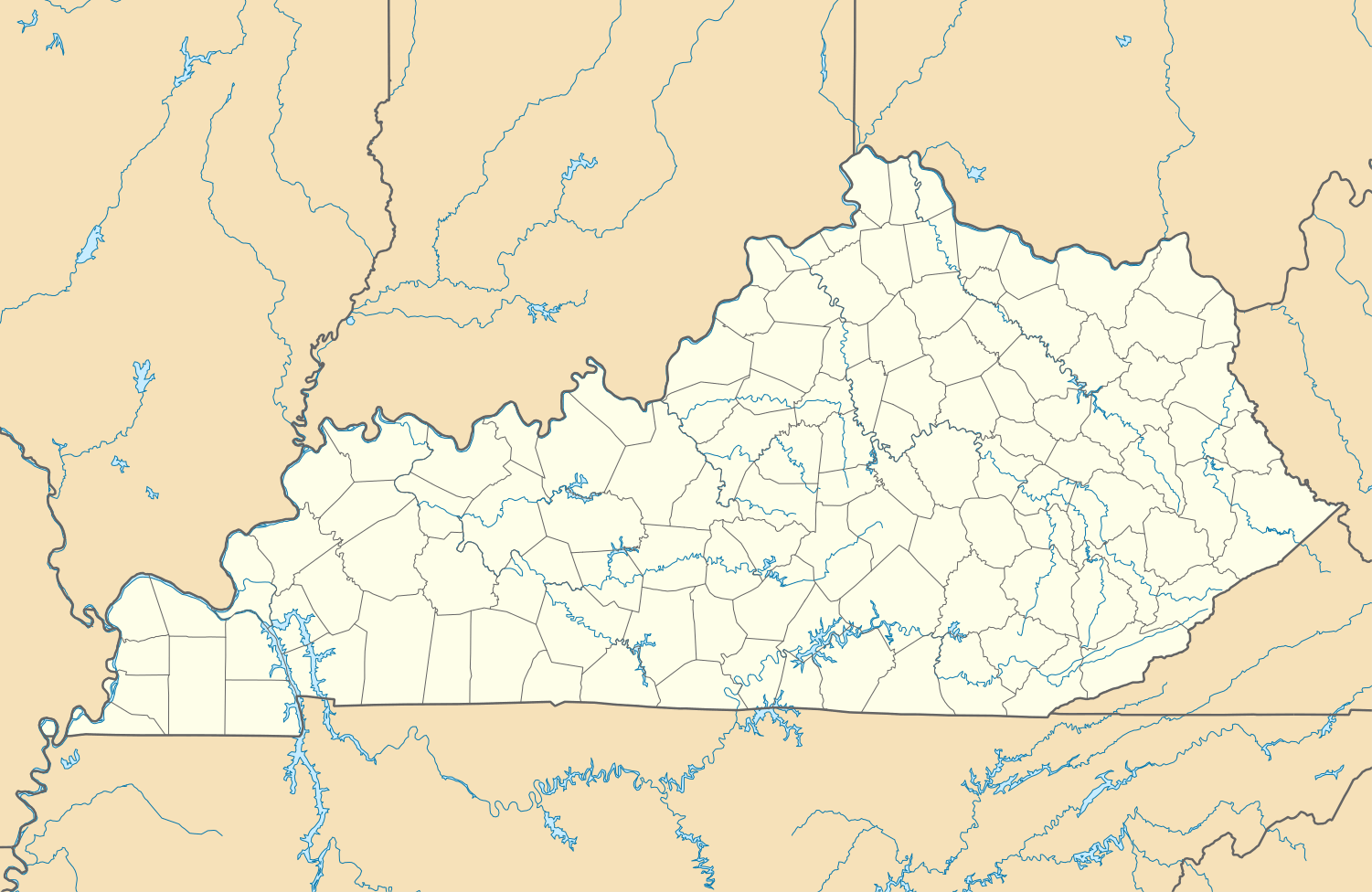 Union Location in Kentucky | |
| Coordinates: 38°56′43″N 84°40′19″W / 38.94528°N 84.67194°WCoordinates: 38°56′43″N 84°40′19″W / 38.94528°N 84.67194°W | |
| Country | United States |
| State | Kentucky |
| County | Boone |
| Government | |
| • Type | Commission |
| • Mayor | Larry King Solomon |
| • Commissioners |
Ken Heil, John Mefford, Bryan Miller, Jeremy City Administrator - David S. Martin |
| Area | |
| • Total | 3.2 sq mi (8.4 km2) |
| • Land | 3.2 sq mi (8.4 km2) |
| • Water | 0.0 sq mi (0.0 km2) |
| Elevation | 837 ft (255 m) |
| Population (2010) | |
| • Total | 5,379 |
| Time zone | Eastern (EST) (UTC-5) |
| • Summer (DST) | EDT (UTC-4) |
| ZIP code | 41091 |
| Area code(s) | 859 |
| FIPS code | 21-78384 |
| GNIS feature ID | 0505762 |
| Website | www.cityofunionky.org |
Union is a city in Boone County, Kentucky, United States. The population was 5,379 as of the 2010 United States Census. The area was rural until mass residential growth in the 1990s and 2000s.
History
The City of Union grew from a small settlement that may have existed as early as the late 18th century. However, by the early 19th century, much of the land that now lies in Union was owned by the Fowler family, and Benjamin Piatt Fowler built his home in what is now the northern area of the city c. 1817.
It has been recorded that Union was established as early as 1833, but existing documentation shows that Union was officially incorporated as a city in 1838. Why the name Union was chosen no one actually knows, but the story goes that since it was a connection point between Florence and Big Bone Lick, "Union" seemed somehow appropriate. Salt was manufactured at Big Bone Lick during the early 19th century, and then brought to Union for distribution to other area settlements.
Geography
Union is located at 38°56′43″N 84°40′19″W / 38.94528°N 84.67194°W (38.945185, -84.671866).[1]
According to the United States Census Bureau, the city has a total area of 3.2 square miles (8.3 km2), all of it land.
Demographics
| Historical population | |||
|---|---|---|---|
| Census | Pop. | %± | |
| 1920 | 100 | — | |
| 1930 | 94 | −6.0% | |
| 1970 | 233 | — | |
| 1980 | 601 | 157.9% | |
| 1990 | 1,001 | 66.6% | |
| 2000 | 2,893 | 189.0% | |
| 2010 | 5,379 | 85.9% | |
| Est. 2015 | 5,795 | [2] | 7.7% |
As of the census[4] of 2010, there were 5,379 people, 1,661 households, and 1,471 families residing in the city. The population density was 894.4 people per square mile (345.8/km²). There were 1,739 housing units at an average density of 271.7 per square mile (105.1/km²). The racial makeup of the city was 91.3% White, 1.2% African American, 0.0% Native American, 5.7% Asian, 0.0% Pacific Islander, 0.0% from other races, and 1.7% from two or more races. Hispanic or Latino of any race were 1.8% of the population.
There were 850 households out of which 62.9% had children under the age of 18 living with them, 85.3% were married couples living together, 5.1% had a female householder with no husband present, and 7.8% were non-families. 5.9% of all households were made up of individuals and 1.8% had someone living alone who was 65 years of age or older. The average household size was 3.40 and the average family size was 3.55.
In the city the population was spread out with 37.6% under the age of 18, 4.8% from 18 to 24, 35.9% from 25 to 44, 19.4% from 45 to 64, and 2.3% who were 65 years of age or older. The median age was 32 years. For every 100 females there were 100.3 males. For every 100 females age 18 and over, there were 100.9 males.
The median income for a household in the city was $85,454, and the median income for a family was $85,859 (2009 estimates indicate these figures have risen to $97,083 and $98,672, respectively). Males had a median income of $61,531 versus $34,861 for females. The per capita income for the city was $27,626. About 1.4% of families and 1.4% of the population were below the poverty line, including 1.1% of those under age 18 and 3.0% of those age 65 or over.

Neighborhoods
- Arbor Springs
- Cedarwood
- Cool Springs
- Dublin Green
- Hampshire
- Harmony
- Hempsteade
- Indian Hill
- Ivy Pond
- Lassing Green
- Orleans
- Plantation Pointe
- Russwill
- Sycamore
- Teutonia Estates (Bias Hollow Road)
- Triple Crown Country Club Community
- Whispering Trail
- Village of Brigadoon
- Devonshire
- Summerset Farms
Notable people
- Steve Flesch (Golfer)
- Josh Hutcherson (Actor)
- Bill Long (Former baseball player) (teaches in Union, not residing)
- Paul Marcotte (Businessman and politician)
References
- ↑ "US Gazetteer files: 2010, 2000, and 1990". United States Census Bureau. 2011-02-12. Retrieved 2011-04-23.
- ↑ "Annual Estimates of the Resident Population for Incorporated Places: April 1, 2010 to July 1, 2015". Retrieved July 2, 2016.
- ↑ "Census of Population and Housing". Census.gov. Retrieved June 4, 2015.
- ↑ "American FactFinder". United States Census Bureau. Retrieved 2008-01-31.
External links
- Official Homepage
- Boone County Arboretum
- Weather Forecasts for Union
- Triple Crown Country Club
- Triple Crown Community
- Hempsteade Community
- Hampshire Community
- Harmony Community
- Orleans (South) Community
- Plantation Pointe Community
Municipalities and communities of Boone County, Kentucky, United States | ||
|---|---|---|
| Cities | 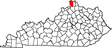 | |
| CDPs | ||
| Unincorporated Communities | ||
| Ghost town | ||
| Footnotes | ‡This populated place also has portions in an adjacent county or counties. | |