Ulla Qhaya
| Ulla Qhaya | |
|---|---|
| Pupuya | |
 Ulla Qhaya Location in Bolivia | |
| Highest point | |
| Elevation | 5,617 m (18,428 ft) [1] |
| Coordinates | 15°00′41″S 69°02′32″W / 15.01139°S 69.04222°WCoordinates: 15°00′41″S 69°02′32″W / 15.01139°S 69.04222°W |
| Geography | |
| Location |
Bolivia, La Paz Department, Franz Tamayo Province, Pelechuco Municipality |
| Parent range | Andes, Apolobamba |
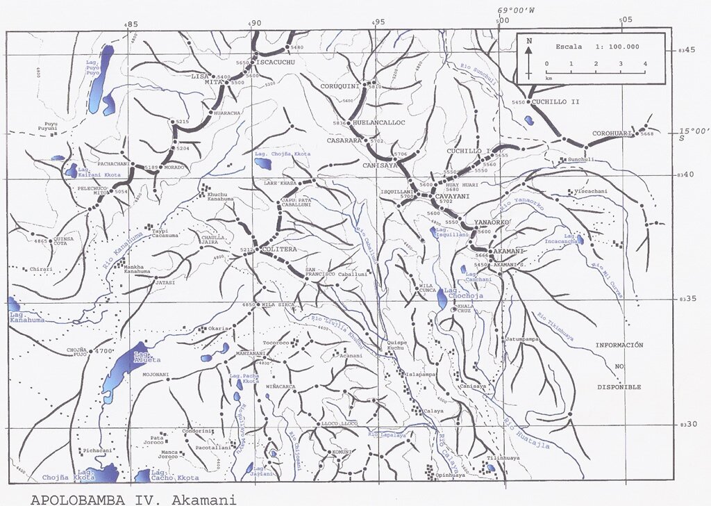
Ulla Qhaya (Aymara ulla cooked potato, qhaya store of potatoes,[2][3] also spelled Ulla Khaya, Ullakaya),[4][5] Jila Khayo,[6] Huelancalloc,[5][7] Huellancalloc[8] or Pupuya[8] is a 5,617-metre-high (18,428 ft) mountain in the Apolobamba mountain range in Bolivia. It is situated in the La Paz Department at the border of the Bautista Saavedra Province, Curva Municipality, and the Franz Tamayo Province, Pelechuco Municipality. Ulla Qhaya lies east of the lake Ch'uxña Quta and north-west of the mountain Iskillani.[1][4][9][10]
References
- 1 2 BIGM map 1:250,000 HOJA SD 19-14 Puerto Acosta
- ↑ "Pelechuco". katari.org. Retrieved September 1, 2014.
- ↑ Juan Carvajal Carvajal, Arturo Hernández Sallés, Nelly Ramos Pizarro, Diccionario ilustrado aymara, español, inglés
- 1 2 BIGM map 1:100,000 Umanata 3040
- 1 2 "Cordillera Apolobamba: South to North Traverse". Aimee Verdisco, Chris Clarke. Retrieved September 1, 2014.
- ↑ "Pelechuco". ine.gob.bo. Retrieved September 1, 2014.
- ↑ AJ 1991-92 257-264 Peck MEFnotes.pdf - Alpine Journal
- 1 2 "Alphabetical listing of peaks of the Andes". John Biggar. Retrieved September 1, 2014.
- ↑ "Curva". ine.gob.bo. Retrieved September 1, 2014.
- ↑ "Cordillera Apolobamba IV". huayna-potosi.com. Retrieved September 1, 2014.
This article is issued from Wikipedia - version of the 4/29/2016. The text is available under the Creative Commons Attribution/Share Alike but additional terms may apply for the media files.