Ukara Island
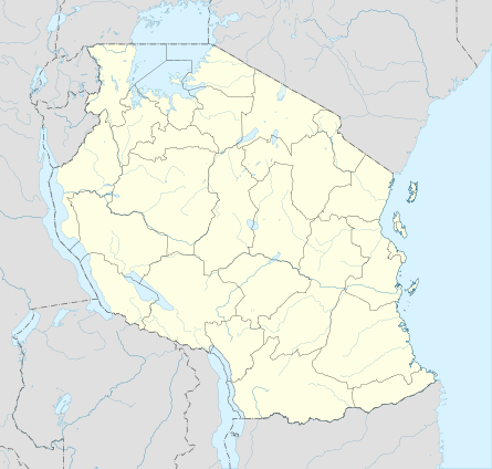
 Ukara is 10 km north of Ukerewe, in the southeastern corner of Lake Victoria | |
 Ukara | |
| Geography | |
|---|---|
| Location | Lake Victoria |
| Coordinates | 1°50′21″S 33°02′56″E / 1.839207°S 33.048935°E |
| Area | 80 km2 (31 sq mi) |
| Administration | |
|
Tanzania | |
| Demographics | |
| Population | 16,000 |
| Pop. density | 200 /km2 (500 /sq mi) |
Ukara is an island in Lake Victoria. Part of Tanzania, it is located 10 km north of Ukerewe Island, in the Ukerewe District, Mwanza Region. Also known as Bukara.[1]
The island is notable for its unique indigenous system of labor-intensive mixed farming, using advanced agricultural techniques, and a correspondingly high population density.[2][3]
See also
External links
- Detailed map of Ukerewe and Ukara islands
- Mwanza Guide commented photo gallery of Ukara Island
- "Bukara", New York Times, June 20, 1920. Article on Ukara Island's economy.
- "The Lesson of Ukara", E. Berton Spence, The Free Market (Ludwig von Mises Institute monthly), December 1999.
References
- ↑ "Slavery in Africa: historical and anthropological perspectives", edited by Suzanne Miers and Igor Kopytoff, Univ of Wisconsin Press, 1979, pp. 263, 276.
- ↑ "The African husbandman", William Allan, LIT Verlag, 2004, pp. 199-206.
- ↑ Tanzania: crisis and struggle for survival", Jannik Boesen, Nordic Africa Institute, 1986, pp. 109-110.
This article is issued from Wikipedia - version of the 11/17/2016. The text is available under the Creative Commons Attribution/Share Alike but additional terms may apply for the media files.