Twisp River
| Twisp River | |
| Country | United States |
|---|---|
| State | Washington |
| County | Okanogan |
| Source | Cascade Range |
| - coordinates | 48°27′47″N 120°36′4″W / 48.46306°N 120.60111°W [1] |
| Mouth | Methow River |
| - elevation | 1,575 ft (480 m) [1] |
| - coordinates | 48°22′6″N 120°7′6″W / 48.36833°N 120.11833°WCoordinates: 48°22′6″N 120°7′6″W / 48.36833°N 120.11833°W [1] |
| Length | 26 mi (42 km) [1] |
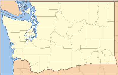 Location of the mouth of the Twisp River in Washington | |
The Twisp River is a tributary of the Methow River, in the U.S. state of Washington. It is about 26 miles (42 km) long.[1] The name of the river comes from the Okanagan placename [txwə́c’p],[2] perhaps meaning "wasp" or "yellowjacket".[3]
Course
The Twisp River originates in the North Cascades portion of the Cascade Range. Flowing generally east, the Twisp River drains the mountains south of Washington Pass as well as the eastern slopes of Sawtooth Ridge, a major mountain range with some of Washington state's highest peaks (such as Star Peak and Mt Bigelow).
The Twisp River flows into the Methow River at the town of Twisp, Washington.
Trivia
A Japanese incendiary balloon was reported on the Twisp River in 1945.[4]
See also
References
- 1 2 3 4 5 U.S. Geological Survey Geographic Names Information System: Twisp River
- ↑ Bright, William (2004). Native American Placenames of the United States. University of Oklahoma Press. p. 528. ISBN 978-0-8061-3598-4.
- ↑ Majors, Harry M. (1975). Exploring Washington. Van Winkle Publishing Co. p. 40. ISBN 978-0-918664-00-6.
- ↑ Majors, Harry M. (1975). Exploring Washington. Van Winkle Publishing Co. p. 42. ISBN 978-0-918664-00-6.
This article is issued from Wikipedia - version of the 10/13/2016. The text is available under the Creative Commons Attribution/Share Alike but additional terms may apply for the media files.