Tsovagyugh
Coordinates: 40°37′59″N 44°57′08″E / 40.63306°N 44.95222°E
| Tsovagyugh Ծովագյուղ | |
|---|---|
|
Tsovagyugh from the Sevan highway, 2010 | |
 Tsovagyugh Ծովագյուղ | |
| Coordinates: 40°37′59″N 44°57′08″E / 40.63306°N 44.95222°E | |
| Country | Armenia |
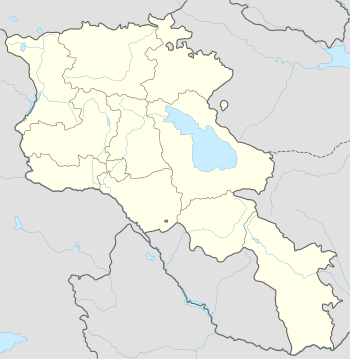
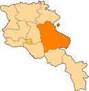
| Province | Gegharkunik |
| Population (2008) | |
| • Total | 4,189 |

Tsovagyugh (Armenian: Ծովագյուղ formerly known as Karatap and Chibukhlu until 1935), is a major village in the Gegharkunik Province of Armenia. The ruins of a church are in the village, and upon an egg-shaped hill to the northeast are the remains of an Iron Age fort. [1]
Gallery
 World War II memorial at Tsovagyugh
References
- Tsovagyugh at GEOnet Names Server
- World Gazeteer: Armenia – World-Gazetteer.com
- Report of the results of the 2001 Armenian Census, National Statistical Service of the Republic of Armenia
- Brady Kiesling, Rediscovering Armenia, p. 48; original archived at Archive.org, and current version online on Armeniapedia.org.
This article is issued from Wikipedia - version of the 7/24/2016. The text is available under the Creative Commons Attribution/Share Alike but additional terms may apply for the media files.