Trollaskeinuten
| Trollaskeinuten | |
|---|---|
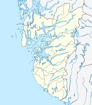 Trollaskeinuten Location in Rogaland | |
| Highest point | |
| Elevation | 1,622 m (5,322 ft) |
| Prominence | 440 m (1,440 ft) |
| Coordinates | 59°43′55″N 06°59′50″E / 59.73194°N 6.99722°ECoordinates: 59°43′55″N 06°59′50″E / 59.73194°N 6.99722°E |
| Geography | |
| Location | Rogaland, Norway |
Trollaskeinuten is a mountain in the municipality of Suldal in Rogaland county, Norway. The 1,622-metre (5,322 ft) tall mountain lies in the mountainous northeastern corner of Suldal, surrounded by the mountains Knoda, Kistenuten, Vassdalseggi, Fitjanuten, and Mælen. Trollaskeinuten lies about 15 kilometres (9.3 mi) northeast of the village of Nesflaten.[1]
References
- ↑ Lauritzen, Per Roger, ed. (2009). "Trollaskeinuten". Norsk Fjelleksikon (in Norwegian). Arendal: Friluftsforlaget. ISBN 9788291495477.
This article is issued from Wikipedia - version of the 12/7/2015. The text is available under the Creative Commons Attribution/Share Alike but additional terms may apply for the media files.