Toutle, Washington
| Toutle, Washington | |
|---|---|
| Unincorporated community | |
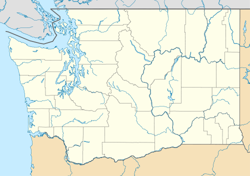 Toutle Location in the state of Washington | |
| Coordinates: 46°19′29″N 122°44′11″W / 46.32472°N 122.73639°WCoordinates: 46°19′29″N 122°44′11″W / 46.32472°N 122.73639°W | |
| Country |
|
| State |
|
| County | Cowlitz |
| Elevation[1] | 152 m (499 ft) |
| Time zone | PST (UTC−8) |
| • Summer (DST) | PDT (UTC−7) |
| ZIP code | 98649 |
| Area code(s) | 360 |
| FIPS code | 53-72100 |
| GNIS feature ID | 1511568 |
Toutle is an unincorporated community in Cowlitz County, Washington. Toutle is located 10 miles (16 km) east of Castle Rock along Washington State Route 504, which is also known as the Spirit Lake Memorial Highway.[2] The Toutle community, similar to Toutle River, takes its name from the Hullooetell, a band of the Skillot - a Chinookan tribe.[3] The Toutle community is part of the Toutle Lake School District, a K-12 school district of about 600 students. Toutle is near Mount St. Helens and the Mount St. Helens National Volcanic Monument, which lies at the end of the Spirit Lake Memorial Highway. The eruption of Mount St. Helens on May 18, 1980 was the deadliest and most economically destructive volcanic event in the history of the United States.
Geography
Toutle is located at 46°19′29″N 122°44′11″W / 46.32472°N 122.73639°W (46.3248338, -122.7365001).[4]
References
- ↑ "USGS—Toutle, Washington". Retrieved 12 June 2014.
- ↑ Washington State Legislature. "RCW 47.17.655: State Route 504". Retrieved 12 June 2014.
- ↑ Waldman, Carl; Braun, Molly (February 1, 2009). "Major Native Place-Names in the United States and Canada". Atlas of the North American Indian (3rd ed.). Infobase Publishing. p. 387. ISBN 978-0-8160-6858-6.
- ↑ "2013 U.S. Gazetteer Files". census.gov. Retrieved 12 June 2014.
External links
Municipalities and communities of Cowlitz County, Washington, United States | ||
|---|---|---|
| Cities | 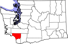 | |
| CDPs | ||
| Unincorporated communities |
| |
| Footnotes | ‡This populated place also has portions in an adjacent county or counties | |