Tindefjellbreen
| Tindefjellbreen | |
|---|---|
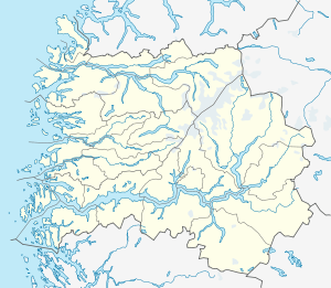 Location of Tindefjellbreen | |
| Location | Stryn, Norway |
| Coordinates | 61°52′10″N 07°03′14″E / 61.86944°N 7.05389°ECoordinates: 61°52′10″N 07°03′14″E / 61.86944°N 7.05389°E |
| Area | 20 km2 (7.7 sq mi) |
Tindefjellbreen is a glacier in the municipality of Stryn in Sogn og Fjordane county, Norway. The 20-square-kilometre (7.7 sq mi) glacier lies about 4 kilometres (2.5 mi) east of the mountain Skåla, roughly halfway between the villages of Bødalen and Erdalen. The glacier is in the mountains east of the lake Lovatnet and south of the lake Oppstrynsvatn. The glacier is part of Jostedalsbreen National Park, about 10 kilometres (6.2 mi) east of the village of Loen.[1]
See also
References
- ↑ Store norske leksikon. "Tindefjellbreen" (in Norwegian). Retrieved 2010-07-24.
This article is issued from Wikipedia - version of the 2/1/2015. The text is available under the Creative Commons Attribution/Share Alike but additional terms may apply for the media files.