Tilarán
| Tilarán | |
|---|---|
|
District and town | |
|
Wind turbine in Tilarán | |
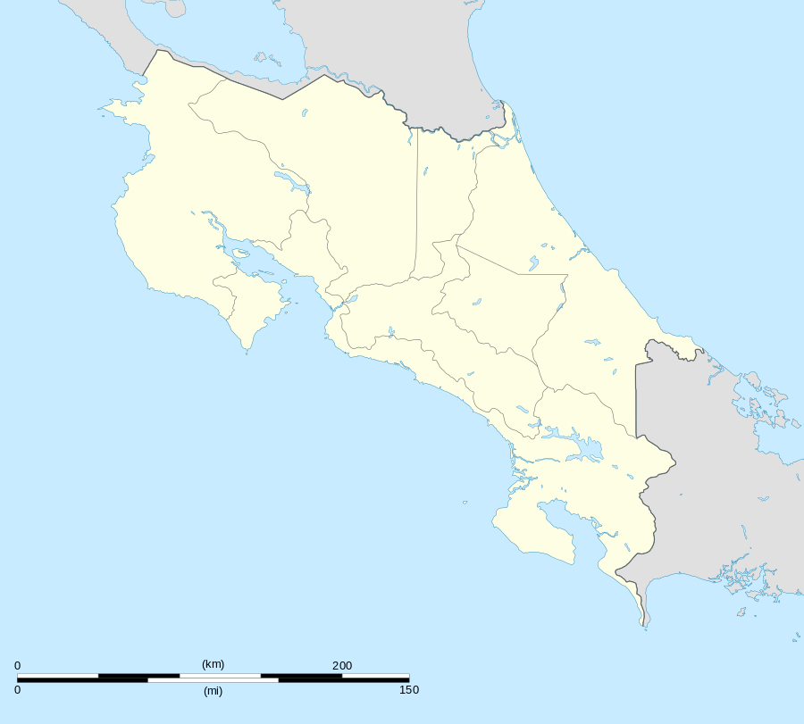 Tilarán Location in Costa Rica | |
| Coordinates: 10°28′18″N 84°58′09″W / 10.47167°N 84.96917°W | |
| Country | Costa Rica |
| Province | Guanacaste |
| Canton | Tilarán |
| Area | |
| • Total | 138.78 km2 (53.58 sq mi) |
| Elevation | 564 m (1,850 ft) |
| Population (June 2013) | |
| • Total | 8,892 |
| • Density | 64/km2 (170/sq mi) |
| Postal code | 50801 |

Tilarán is a small town in the Guanacaste Province, Costa Rica. It is the seat of the Tilarán Canton located in the hills overlooking the west shore of Lake Arenal.[1] The district has a population of around 2,500 people.[2]
It is connected by road to El Silencio, and via the 142 road down through the Cordillera de Tilarán hills to Tejona.[3] The area between Tilaran and Tejona is one of the most important wind farms in Costa Rica and turbines are prominent on the landscape. Animal husbandry also forms an important part of the local economy.
The main religion is Roman Catholicism and the town lies at the center of the Roman Catholic Diocese of Tilarán.
Notable people
- Leonidas Flores -retired footballer
- Carlos Palacios Herrera -Professional Ciclist
- Loco Doooglas -Oasis of the Toucans
- Luis Esteban Herrera -Pianist
- Doris Murillo Boniche - Local Artist. Retired Art professor.
- Danadith Tayals - Poet
References
| Wikimedia Commons has media related to Tilarán. |
- ↑ "Tilaran". Retrieved 2015-03-28.
- ↑ Estadísticas Vitales 2013 - INEC
- ↑ Baker, C.P. (2005). Costa Rica. Dorling Kindersley Eye Witness Travel Guides. p. 150.
External links
This article is issued from Wikipedia - version of the 3/28/2015. The text is available under the Creative Commons Attribution/Share Alike but additional terms may apply for the media files.