Tikaboo Peak
| Tikaboo Peak | |
|---|---|
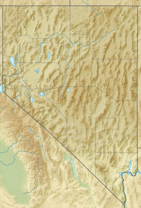 Tikaboo Peak Location in Nevada | |
| Highest point | |
| Elevation | 7,915 ft (2,412 m) NAVD 88[1] |
| Prominence | 925 ft (282 m) [2] |
| Coordinates | 37°20′39″N 115°21′32″W / 37.344267792°N 115.358864258°WCoordinates: 37°20′39″N 115°21′32″W / 37.344267792°N 115.358864258°W [1] |
| Geography | |
| Location | Lincoln County, Nevada, U.S. |
| Topo map | USGS Badger Spring |
| Climbing | |
| Easiest route | Hike |
Tikaboo Peak is a mountain in Lincoln County, Nevada, United States 26 miles (42 km) to the east of Area 51. It is the closest legal vantage point with a view of the area.[3]
Tikaboo Peak is used because the government closed two closer vantage points to Area 51—Freedom Ridge and White Sides—to public access in 1995, due to the number of people photographing or filming the base from these sites.[4]
References
- 1 2 "Tikaboo". NGS data sheet. U.S. National Geodetic Survey. Retrieved 2008-11-24.
- ↑ "Tikaboo Peak, Nevada". Peakbagger.com. Retrieved 2014-01-30.
- ↑ "Tikaboo Peak Map". DreamlandResort.com. Retrieved 2008-04-05.
- ↑ "Freedom Ridge and Roadblock Canyon". DreamlandResort.com. Retrieved 2008-04-05.
This article is issued from Wikipedia - version of the 5/27/2015. The text is available under the Creative Commons Attribution/Share Alike but additional terms may apply for the media files.