Thornton Peak
| Thornton Peak | |
|---|---|
 Thornton Peak | |
| Highest point | |
| Elevation | 1,374 m (4,508 ft) |
| Coordinates | 16°09′51″S 145°22′27″E / 16.164167°S 145.374167°ECoordinates: 16°09′51″S 145°22′27″E / 16.164167°S 145.374167°E |
| Geography | |
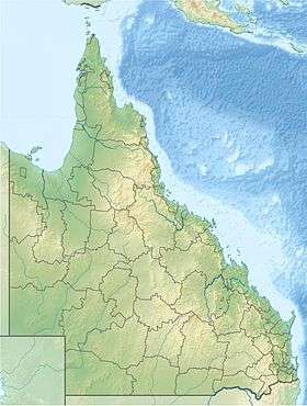
| Location | Queensland, Australia |
| Parent range | Great Dividing Range |
| Climbing | |
| First ascent | Unknown |
Thornton Peak is a prominent mountain that rises above the Daintree Rainforest to a height of 1374 m.[1] The mountain is located about 80 km northwest of Cairns within the catchment of the Daintree River.
It is Queensland's fourth highest peak after Mount Bartle Frere at 1,622 m (5,322 ft), Mount Bellenden Ker at 1,593 m (5,226 ft) and Mount Superbus at 1,375 m (4,511 ft).
The indigenous Eastern Kuku Yalanji people's name for Thornton Peak is Wundu, and it has spiritual significance for them.
The peak is covered by rainforest and is home to a number of endemic species. Thornton Peak is one of only three mountain tops that are home to the cinereus ringtail possum.[2]
A group of scientists have suggested the mountain is a viable candidate for the translocation of some species which require a colder climate due to climate change.[3]
In April 2001, a missing Aero Commander 500 was found on Thornton Peak.[4]
See also
References
- ↑ Daintreecoast.com map
- ↑ Cape Tribulation, Daintree National Park, Nature, culture and history Department of National Parks, Recreation, Sport and Racing (Queensland)
- ↑ Dani Cooper (28 May 2009). "Species on the move". ABC Science. Australian Broadcasting Corporation. Retrieved 29 May 2010.
- ↑ "Plane found on Queensland mountain". NZ Herald News. APN Holdings NZ. 12 April 2001. Retrieved 29 May 2010.