Thirparappu
| Thiruparappu | |
|---|---|
| panchayat town | |
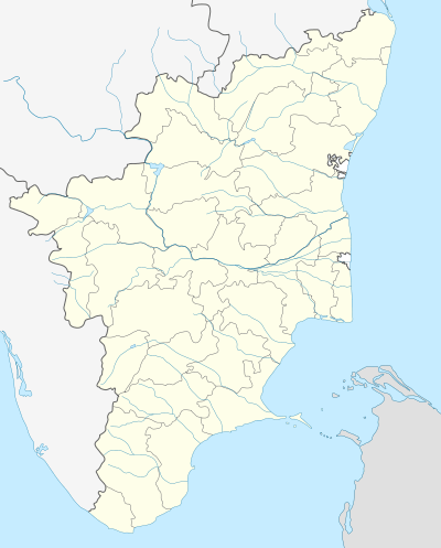 Thiruparappu Location in Tamil Nadu, India | |
| Coordinates: 8°23′28″N 77°15′34″E / 8.39111°N 77.25944°ECoordinates: 8°23′28″N 77°15′34″E / 8.39111°N 77.25944°E | |
| Country |
|
| State | Tamil Nadu |
| District | Kanniyakumari |
| Population (2001) | |
| • Total | 21,722 |
| Languages | |
| • Official | Tamil |
| Time zone | IST (UTC+5:30) |

History
Thirparappu is famous for its waterfalls and is located in Kanyakumari District of Tamil Nadu in the southern part of India. Thirparappu Falls is located 42 km (26 mi) from Nagercoil (headquarters of Kanyakumari District), 55 km (34 mi) from Thiruvananthapuram (capital of Kerala) and a distance of 5 km (3.1 mi) from Kulasekaram (nearest town panchayat). This famous falls is in the Kodayar (Kothai River). The Kodayar makes its descend at Thirparappu and the water fall at this place is about 13 km (8.1 mi) from Pechiparai dam.
Thirparappu waterfalls is 300 ft (91 m) feet long and consists of a rocky riverbed. The water falls from a height of nearly 50 ft (15 m). The waterfall has flows with great force for around seven months in the whole year.The whole bed above the falls is one rocky mass which extends up to a distance of about quarter of a kilometer upstream where the famous Thirparappu weir has been constructed for supplying water to the paddy fields. This irrigation facitlity is extremely useful here and it is fascinating to see the process of irrigation from the dam to the fields.
On either side of the river, on the left bank of the river in between the water falls and the weir, there is a temple dedicated to Siva enclosed by strong fortification. Called Mahadever Kovil it is the third one of the twelve Sivalaya's. It is said that Lord Shiva lives here as Virabhadra which is a fierce form of this Indian God.There are many old inscriptions in this temple including the one of the Pandiya King dated ninth century. This temple is built around A.D. 9th Century.
Demographics
As of 2001 India census,[1] Thiruparappu had a population of 21,722. Males constitute 49% of the population and females 51%. Thiruparappu has an average literacy rate of 75%, higher than the national average of 59.5%: male literacy is 78%, and female literacy is 72%. In Thiruparappu, 10% of the population is under 6 years of age.
How to Reach
By Air : The nearest Airport is at Trivandrum (Kerala).
By Rail : The nearest railway station is Marthandam.
By Road : You get buses from Kulasekaram, Nagercoil, Marthandam.
References
- ↑ "Census of India 2001: Data from the 2001 Census, including cities, villages and towns (Provisional)". Census Commission of India. Archived from the original on 2004-06-16. Retrieved 2008-11-01.
1. http://www.shaivam.org/siddhanta/sptthirparappu.htm 2. http://www.tn.gov.in/district_statistics.html Government of Tamil Nadu - District Statistics