Tha Thung Na Dam
| Tha Thung Na Dam | |
|---|---|
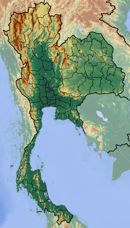 Dam location in Thailand | |
| Country | Thailand |
| Location | Kanchanaburi Province |
| Coordinates | 14°14′1″N 99°14′9″E / 14.23361°N 99.23583°ECoordinates: 14°14′1″N 99°14′9″E / 14.23361°N 99.23583°E |
| Purpose | Multi-purpose |
| Status | Operational |
| Opening date | 1981 |
| Owner(s) | Electricity Generating Authority of Thailand (EGAT) |
| Dam and spillways | |
| Type of dam | Gravity dam |
| Impounds | Khwae Yai River |
| Height (foundation) | 30 m (98 ft) |
| Length | 840 m (2,760 ft) |
| Width (crest) | 8 m (26 ft) |
| Reservoir | |
| Creates | Tha Thung Na Reservoir |
| Total capacity | 54,800,000 m3 (1.94×10⁹ cu ft) |
| Normal elevation | 59.7 m (196 ft) (MSL) |
| Power station | |
| Operator(s) | Electricity Generating Authority of Thailand (EGAT) |
| Commission date | February 1982 |
| Turbines | 2 x 19 MW |
| Installed capacity | 38 MW |
|
Website Tha Thung Na Dam at EGAT | |
The Tha Thung Na Dam (Thai: เขื่อนท่าทุ่งนา) is a multi-purpose hydroelectric dam in the Mueang District of Kanchanaburi Province, Thailand. It impounds the Khwae Yai River.[1] The dam is located at the southeastern corner of Erawan National Park.
Description
Tha Thung Na Dam is a rock fill and concrete gravity dam. It is 840 m (2,760 ft) long and 30 m (98 ft) high. Its reservoir has a maximum storage capacity of 710,000,000 m3 (2.5×10¹⁰ cu ft).[1]
Power plant
The dam's power plant has two hydroelectric generating units, each with an installed capacity of 19 MW. The first unit was commissioned in December 1981 and the second unit in February 1982.[1]
References
- 1 2 3 "Tha Thung Na Dam". Electricity Generating Authority of Thailand (EGAT). Retrieved 7 July 2014.
This article is issued from Wikipedia - version of the 4/7/2015. The text is available under the Creative Commons Attribution/Share Alike but additional terms may apply for the media files.