Tezpur Airport
Tezpur Airport Tezpur Air Force Station तेजपुर सैनिक हवाईअड्डा | |||||||||||
|---|---|---|---|---|---|---|---|---|---|---|---|
| IATA: TEZ – ICAO: VETZ | |||||||||||
| Summary | |||||||||||
| Airport type | Military/Public | ||||||||||
| Owner | Airports Authority of India | ||||||||||
| Operator | Indian Air Force | ||||||||||
| Location | Tezpur, Assam | ||||||||||
| Elevation AMSL | 240 ft / 73 m | ||||||||||
| Coordinates | 26°42′44″N 092°47′14″E / 26.71222°N 92.78722°ECoordinates: 26°42′44″N 092°47′14″E / 26.71222°N 92.78722°E | ||||||||||
| Map | |||||||||||
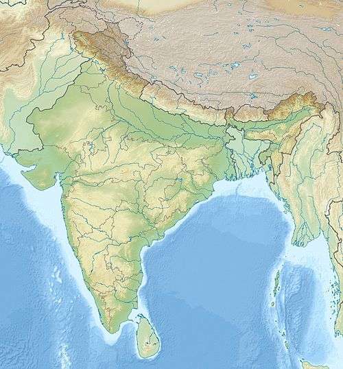 Tezpur Airport Location of Tezpur Airport, India | |||||||||||
| Runways | |||||||||||
| |||||||||||
Tezpur Airport (IATA: TEZ, ICAO: VETZ) is located in Tezpur in the state of Assam, India. It is also known as Salonibari Airport based on the village/township of Salonibari where it is located.[1]
History
The airfield in Tezpur was constructed by the British Royal Indian Air Force during World War II in 1942. It was used by the United States Army Air Forces Tenth Air Force as a B-24 Liberator heavy bomber base by the 7th Bombardment Group. After the war, it was subsequently developed into a full-fledged air force base in 1959. Since its inception, it has been one of the most active bases in the Northeast of India with a variety of fixed and rotary wing aircraft operating from there.
Airlines and destinations
- Passenger
| Airlines | Destinations |
|---|---|
| Air India Regional | Kolkata, Silchar |
References
![]() This article incorporates public domain material from the Air Force Historical Research Agency website http://www.afhra.af.mil/.
This article incorporates public domain material from the Air Force Historical Research Agency website http://www.afhra.af.mil/.
- ↑ "Salonibari Airport". world-airport-codes.com. Retrieved 4 July 2007.
External links
- Tezpur Airport at the AAI
- Airport information for VETZ at World Aero Data. Data current as of October 2006.
- Airport information for TEZ at Great Circle Mapper.
| Airfields |
| .png) | |||||||||||||||||||||||||||
|---|---|---|---|---|---|---|---|---|---|---|---|---|---|---|---|---|---|---|---|---|---|---|---|---|---|---|---|---|---|
| Units |
| ||||||||||||||||||||||||||||