Terror Bay
| Terror Bay ᐊᒥᑦᕈᖅ | |
|---|---|
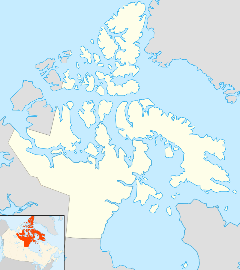 Terror Bay Location in Nunavut | |
| Location | King William Island |
| Coordinates | 68°52′N 98°57′W / 68.867°N 98.950°WCoordinates: 68°52′N 98°57′W / 68.867°N 98.950°W |
| Ocean/sea sources | Arctic Ocean |
| Basin countries | Canada |
Terror Bay (Inuktitut name: ᐊᒥᑦᕈᖅ Amitruq)[1] is an Arctic waterway in the Kitikmeot Region, Nunavut, Canada. It is located in the south western side of King William Island. The entrance to the bay is marked by Fitzjames Island on the west and Irving Islands to the east. The Bay opens to Queen Maud Gulf.
In 2016, Arctic Research Foundation researchers on board the Martin Bergmann announced that they had found the wreck of HMS Terror, one of the ship's of John Franklin's lost expedition in Terror Bay, led there by a tip from Inuk crewman Sammy Kogvik, from Gjoa Haven, who reported seeing a mast protruding from the ice in Terror Bay during a hunting trip in 2010.[2]
The bay was officially named by the Geographical Names Board of Canada in 1910.[3] The bay was one of a series of landmarks along the waters explored by Terror and the route of Franklin's lost expedition named in honour of HMS Terror and the expedition's other ship HMS Erebus,[4] making the location of the wreck in a bay of the same name a coincidence.[5]
Reference
- ↑ "ᐊᒥᑦᕈᖅ, Amitruq, Bay", Kitikmeot Place Name Atlas, Kitikmeot Heritage Society, retrieved 3 October 2016
- ↑ Paul Watson, "Ship found in Arctic 168 years after doomed Northwest Passage attempt", The Guardian, September 12, 2016
- ↑ "Terror Bay", Geographic Names Board of Canada, Natural Resources Canada
- ↑ Terror land forms, Geographic Names Board of Canada, Natural Resources Canada
- ↑ Steve Ducharme,"HMS Terror, Franklin’s second ship, finally found in Nunavut", Nunatsiaq News, September 12, 2016