Terrell County Airport
| Terrell County Airport Kaufman Municipal Airport | |||||||||||||||
|---|---|---|---|---|---|---|---|---|---|---|---|---|---|---|---|
 USGS 2006 orthophoto | |||||||||||||||
| IATA: none – ICAO: none – FAA LID: 6R6 | |||||||||||||||
| Summary | |||||||||||||||
| Airport type | Public | ||||||||||||||
| Owner | Terrell County | ||||||||||||||
| Serves | Dryden, Texas | ||||||||||||||
| Elevation AMSL | 2,322 ft / 708 m | ||||||||||||||
| Coordinates | 30°02′47″N 102°12′47″W / 30.04639°N 102.21306°W | ||||||||||||||
| Map | |||||||||||||||
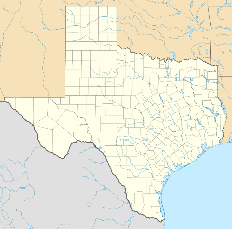 6R6 Location of airport in Texas | |||||||||||||||
| Runways | |||||||||||||||
| |||||||||||||||
| Statistics (2009) | |||||||||||||||
| |||||||||||||||
Terrell County Airport (FAA LID: 6R6) is a county owned, public use airport in Terrell County, Texas, United States. The airport is located five nautical miles (6 mi, 9 km) west of the central business district of Dryden, Texas,[1] and about 14 miles southeast of Sanderson, Texas. It provides general aviation service.
History
Established as Kaufman Municipal Airport. Taken over by United States Army Air Forces on November 12, 1942. Assigned to the USAAF Gulf Coast Training Center (later Central Flying Training Command) as a primary (level 1) pilot training airfield.
Flying training was performed with Fairchild PT-19s as the primary trainer. Also had several PT-17 Stearmans and a few P-40 Warhawks assigned. Inactivated September 30, 1945 with the drawdown of AAFTC's pilot training program and was declared surplus and turned over to the Army Corps of Engineers. Eventually discharged to the War Assets Administration (WAA) returned to civil control.
Facilities and aircraft
Terrell County Airport covers an area of 644 acres (261 ha) at an elevation of 2,322 feet (708 m) above mean sea level. It has two runways, 4/22 and 13/31, each of which has an asphalt surface measuring 4,525 by 75 feet (1,379 x 23 m). For the 12-month period ending August 10, 2009, the airport had 300 general aviation aircraft operations, an average of 25 per month.[1]
See also
References
- 1 2 3 FAA Airport Master Record for 6R6 (Form 5010 PDF). Federal Aviation Administration. Effective April 5, 2012.
-
 This article incorporates public domain material from the Air Force Historical Research Agency website http://www.afhra.af.mil/.
 - Shaw, Frederick J. (2004), Locating Air Force Base Sites History’s Legacy, Air Force History and Museums Program, United States Air Force, Washington DC, 2004.
- Manning, Thomas A. (2005), History of Air Education and Training Command, 1942–2002. Office of History and Research, Headquarters, AETC, Randolph AFB, Texas ASIN: B000NYX3PC
External links
- Aerial image as of January 1996 from USGS The National Map
- Resources for this airport:
- FAA airport information for 6R6
- AirNav airport information for 6R6
- FlightAware airport information and live flight tracker
- SkyVector aeronautical chart for 6R6
| Flying Training |
|  | ||||||
|---|---|---|---|---|---|---|---|---|
| Technical Training |
| |||||||