Tell Ghoraifé
| تل غريفة | |
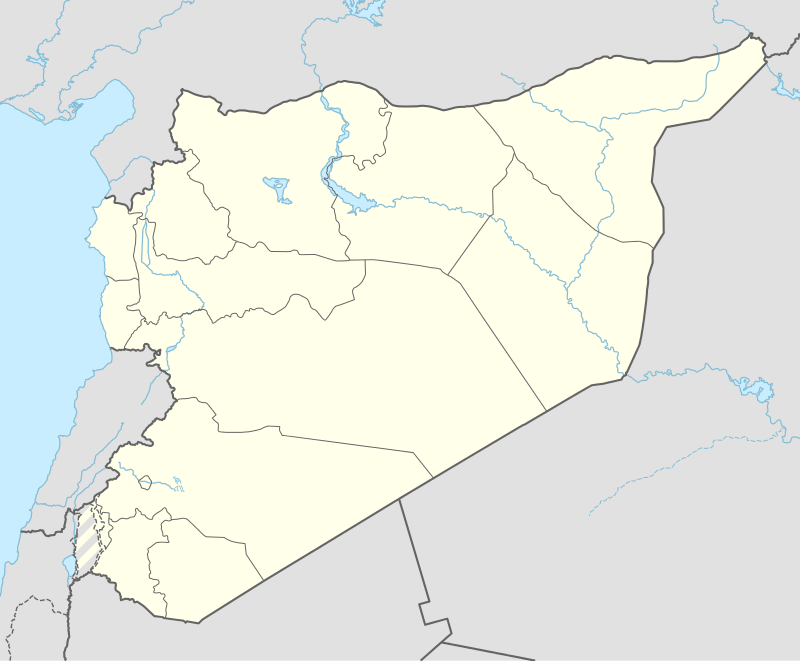 Shown within Syria | |
| Location | 22 km (14 mi) east of Damascus, Syria |
|---|---|
| Region | Damascus basin |
| Coordinates | 33°31′55″N 36°31′52″E / 33.532°N 36.531°E |
| Type | tell |
| Part of | village |
| Area | 5 hectares (540,000 sq ft) |
| History | |
| Material | clay, limestone |
| Founded | c. 7870–5840 BC |
| Periods | PPNB, Neolithic |
| Site notes | |
| Excavation dates | 1974 |
| Archaeologists | Henri de Contenson |
| Condition | ruins |
| Management | Directorate-General of Antiquities and Museums |
| Public access | Yes |
Tell Ghoraifé (Arabic: تل غريفة) is a prehistoric, Neolithic tell, about 22 kilometres (14 mi) east of Damascus, Syria. The tell was the site of a small village of 5 hectares (540,000 sq ft), which was first settled in the early eighth millennium BC.[1][2]
A small, 2 square metres (22 sq ft) excavation was made on the tell by Henri de Contenson in 1974. The excavations revealed about 7.5 metres (25 ft) of deposit on the site consisting of layers of mud, ashes and burned earth. The deposit at the site was phased into two levels owing to typological differences in the artifacts, but the site shows a continuous occupation through both phases.[3]
Materials discovered, particularly the stylistic traits of the lithic tools, show similarities with Southern Levantine Pre-Pottery Neolithic A and Pre-Pottery Neolithic B sites. Tell Ghoraifé is closely related other Neolithic sites in the Damascus basin, like Tell Aswad and Tell Ramad. Despite the similarities these sites share with Euphrates valley sites such as building materials, pre-pottery White Ware and burial rites, they represent a separate, distinct group from the Euphrates valley.[3]
Tell Ghoraifé is an important site to our understanding of the origin of agriculture. It is an example of a site with a long sequence over a millennium where the study of the evolution from wild to domesticated barley has taken place. Finds also included early domesticated wheat.[4] The mammal fauna at Tell Ghoraifé shows a distinct change from level I to II. While both sheep and goats are found in both levels, their ratio in level II is a reversal of the 1 to 3 sheep-to-goat ratio found at level I.[5]
Literature
- de Contenson, H., Bibliothèque archéologique et historique 137 Aswad et Ghoraifé : sites néolithiques en Damascène (Syrie) aux IXème et VIIIème millénaires avant l'ère chrétienne, Bibliothèque Archéologique et Historique, 137, Beirut, 1995
- van Zeist, W. Bakker-Heeres, J.A.H., Archaeobotanical Studies in the Levant 1. Neolithic Sites in the Damascus Basin: Aswad, Ghoraifé, Ramad - Palaeohistoria, 24, 165-256, 1982.
Footnotes
- ↑ Akkermans, Peter M. M. G.; Schwartz, Glenn M. (2003). The Archaeology of Syria: From Complex Hunter-Gatherers to Early Urban Societies (c. 16,000–300 BC). Cambridge University Press. p. 59. ISBN 0-521-79666-0.
- ↑ de Contenson, Henri; Anderson, Patricia C. (1995). Aswad et Ghoraifé: sites néolithiques en Damascène (Syrie) aux IXème et VIIIème millénaires avant l'ère chrétienne. Institut français d'archéologie du Proche-Orient. ISBN 2-7053-0673-0.
- 1 2 Moore, A.M.T. (1978). The Neolithic of the Levant. Oxford University, Unpublished Ph.D. Thesis. pp. 198–203.
- ↑ Hather, Jon H. (2004). The Prehistory of Food: Appetites for Change. Routledge. p. 483. ISBN 0-203-20338-0.
- ↑ Harris, David R. (1996). The origins and spread of agriculture and pastoralism in Eurasia. Routledge. p. 253. ISBN 1-85728-538-7.