Tall Asur
| Tall Asur | |
|---|---|
 Tall Asur | |
| Highest point | |
| Elevation | 1,016 m (3,333 ft) |
| Coordinates | 31°58′43″N 35°17′10″E / 31.97861°N 35.28611°ECoordinates: 31°58′43″N 35°17′10″E / 31.97861°N 35.28611°E |
| Geography | |
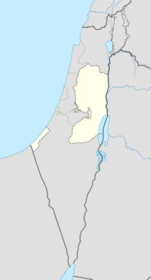
| Location | West Bank, Palestinian territories |
Tall Asur (in Arabic, Hebrew: הר בעל חצור Baal-Hazor) is a hill and one of the highest points in the West Bank, with an altitude of 1,016 metres (3,333 ft). It is thought to be the site where Abraham was shown the land and Lot chose to go to Sodom. It has two peaks, one of them is an Israeli military base.
See also
- Abraham and Lot's conflict
- Geography of the Palestinian territories
- Geography of the West Bank
- Mount Nabi Yunis, the highest point of the Palestinian territories
Sources
- Tall Asur - Peakbagger.com. Retrieved on 2011-02-04.
This article is issued from Wikipedia - version of the 5/15/2016. The text is available under the Creative Commons Attribution/Share Alike but additional terms may apply for the media files.