Toussidé
| Toussidé | |
|---|---|
 Toussidé from the Space Shuttle, October 1992 (Note: Image is inverted. North is at the bottom of the photo.) | |
| Highest point | |
| Elevation | 3,315 m (10,876 ft) [1] |
| Prominence | 1,593 m (5,226 ft) [1] |
| Listing | Ultra |
| Coordinates | 21°02′24″N 16°28′12″E / 21.04000°N 16.47000°ECoordinates: 21°02′24″N 16°28′12″E / 21.04000°N 16.47000°E [1] |
| Geography | |
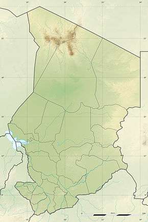 Toussidé Chad | |
| Location | Tibesti Region, Chad |
| Parent range | Tibesti Mountains |
| Geology | |
| Mountain type | Stratovolcano |
| Last eruption | unknown |
Toussidé (also known as Tarso Toussidé) is a potentially active volcano in Chad. It has an elevation of 3,315 m (10,876 ft) above sea level.[2]
Characteristics
Toussidé is the westernmost volcano of the Tibesti Mountains of Chad. The peak is almost centered within the black shape that has tentacle-shaped lava flows extending down the western flank. The volcano’s base measures approximately 90 km in diameter. The light brownish area surrounding the peak shows a distinctive radial drainage pattern that is quite common for volcanoes as the terrain falls away from the main peak. The depression southeast of the volcano measures approximately 8 km in diameter and 1000 m in depth. The white base is caused by an accumulation of carbonate salts, creating this soda lake of Tibesti. With the exception of small vents that emit gasses and a few hot springs that continue to deposit minerals at the surface of the crater floor, little volcanic activity presently occurs in this region.
See also
References
- 1 2 3 "Africa Ultra-Prominences" Peaklist.org. Retrieved 2012-01-14.
- ↑ "Pic Toussidé, Chad" Peakbagger.com. Retrieved 2012-01-14.
Other sources
- National Aeronautics and Space Administration
- Global Volcanism Program
- High-resolution NASA photograph